What is recorded here
Muckenagh and Lissahane share one buried circle, split by their boundary line. The earth bank still curves from north through east to south, visible in aerial photographs but hidden beneath overgrowth. People walked past this place for generations, perhaps forgetting the shape beneath the grass. What is forgotten is not lost, only waiting for someone to look again.
This circular enclosure is marked on the 1841-42 OS map. It is divided into two by the townland boundary running N-S between Muckenagh and Lissahane. On the later edition only the N through E to S section of the bank is marked. This also shows up clearly on the Geological Survey of Ireland's aerial photographs (1974). This particular area is very overgrown and it is difficult to make out the possible rath.
The above description is derived from C. Toal, ‘North Kerry Archaeological Survey’. Dingle. Brandon in association with FAS Training and Employment Authority (1995), no. 640. In certain instances the entries have been revised and updated in the light of recent research.
Date of upload: 2 August 2013
The monument record does not grant public access. Check the route and ask the landowner before entering private land.
- What survives
- Recorded monument
Places near here
 Enclosure in Ballyhorgan SouthEnclosure · 1398 yd
 Church in Kilfeighny NorthChurch · 1.5 mi
 TobershenaneHoly well · 1.6 mi
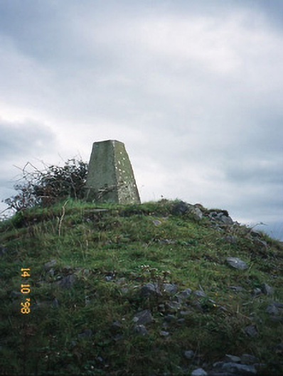 FitzMaurice Monumentmonument · 1.9 mi
 CastleCastle, Anglo-Norman masonry castle · 2.6 mi
 Kilflynn Nature ReserveNature reserve · 4.2 mi
 Listowel Castle (in ruins)Castle, tower house · 4.7 mi
 Kerry Writers' MuseumMuseum · 4.7 mi
 Bryan MacMahonMemorial · 4.7 mi
 Lartigue MonorailMuseum · 4.8 mi
 John B. Keane GroveMemorial · 4.9 mi
 Stack's MountainMountain / peak · 5.4 mi