What is recorded here
Mortons and every other human being must remain behind. Clean the chamber, fit the chamber, and record what the chamber shows.
Internal diameter 47m N-S, 48.8m E-W
This univallate rath is very overgrown. It has a fieldbank running immediately to the E of it in a NNW-SSE direction and a now-disused laneway leads up to the SE side. It consists of a sub-circular area enclosed by an earthen bank which survives to the NW through W to S. Elsewhere it survives as a steep rise which is a maximum of 4m above the external ground level; this can be seen especially to the E. The enclosing bank is 8m wide and rises to 1.6m above the interior and 1.6m above the external ground level. The interior is sloping NE.
The above description is derived from C. Toal, ‘North Kerry Archaeological Survey’. Dingle. Brandon in association with FAS Training and Employment Authority (1995), no. 641. In certain instances the entries have been revised and updated in the light of recent research.
Date of upload: 2 August 2013
The monument record does not grant public access. Check the route and ask the landowner before entering private land.
- What survives
- Recorded monument
Places near here
 Enclosure in Ballyhorgan SouthEnclosure · 1.1 mi
 TobershenaneHoly well · 1.3 mi
 Church in Kilfeighny NorthChurch · 1.7 mi
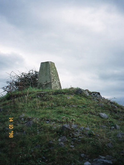 FitzMaurice Monumentmonument · 2.3 mi
 CastleCastle, Anglo-Norman masonry castle · 3.0 mi
 Listowel Castle (in ruins)Castle, tower house · 4.4 mi
 Kilflynn Nature ReserveNature reserve · 4.4 mi
 Kerry Writers' MuseumMuseum · 4.4 mi
 Bryan MacMahonMemorial · 4.4 mi
 Lartigue MonorailMuseum · 4.6 mi
 John B. Keane GroveMemorial · 4.6 mi
 Stack's MountainMountain / peak · 5.4 mi