What is recorded here
Magic is not required to explain the loss. A farm fence cut through the middle of the ring, ploughs took the rest, and even the memory has become a shallow dish in the ground. What remains is a boundary that stopped belonging to itself the moment it became useful for something else.
In pasture, located on a slight elevation. Not indicated on the OS 6-inch maps. This rath has been levelled. An inspection in 1995 recorded a raised circular area (diam. 31.5m) bisected centrally by a field fence on a roughly E−W axis. The portion of the rath which lay to N of the field fence had already been levelled at that date, but the S half of the rath remained clearly defined by a low enclosing bank, reduced to a scarp on the SW arc. Subsequently further damage to the rath took place: the S half of the rath was fully levelled, and the E−W field fence was removed. The outline of the S half of the rath can still be traced as a slight rise in ground level.
Compiled by: Jane O’Shaughnessy
Date of upload: 21 June 2017
The monument record does not grant public access. Check the route and ask the landowner before entering private land.
- What survives
- Recorded monument
Places near here
 Church (in Ruins)Church · 378 yd
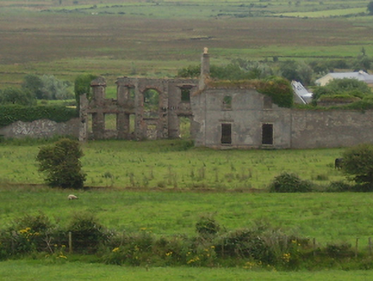 Castlelackancountry house · 568 yd
 CastleCastle, unclassified · 581 yd
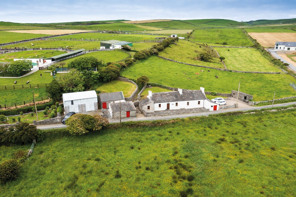 Enclosure in Lissadrone EastEnclosure · 598 yd
 LissadroneFairy fort / earthen ringfort · 999 yd
 Bawn in CarrickanassBawn · 2.2 mi
 TrabaunBeach / strand · 2.4 mi
 French Landing 1798Memorial · 2.6 mi
 Lisheen Grave YardArchaeological place · 3.2 mi
 PollatarriveCliff · 3.6 mi
 Rinnaun PointHeadland · 4.1 mi
 Green IslandIslet · 4.4 mi