What is recorded here
Conifer roots drink from the waterlogged fosse while the truncated earthen banks watch the Glashanaskree River. The field boundary cut through the ring like a knife through a ribbon, exposing the inner chamber to rain and forgetting. What lived there before the trees closed the circle? Perhaps a keeper of seeds, perhaps a child who ran until the path disappeared. The fort still turns its broken edge toward the water, waiting for someone to remember the shape of the hole.
In coniferous plantation, on S-facing slope overlooking Glashanaskree River. Circular area (diam. c. 20m) enclosed by two concentric earthen banks with intervening waterlogged fosse (Wth 3m). Both inner bank (int. H 0.25m; ext. H 1.4m) and external bank (int. H 0.85m; ext. H 1.05m) are truncated SE->NW by linear E-W field boundary. Field boundary abuts outer bank at NE. Interior and most of enclosing element are covered by dense vegetation overgrowth.
Compiled by: Denis Power
Date of upload: 26 August 2011
The monument record does not grant public access. Check the route and ask the landowner before entering private land.
- What survives
- Recorded monument
Places near here
 Fulacht fia in FinnooFulacht fia · 393 yd
 Ardnakisha Burial GroundBurial ground · 823 yd
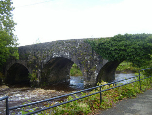 bridgebridge · 1.1 mi
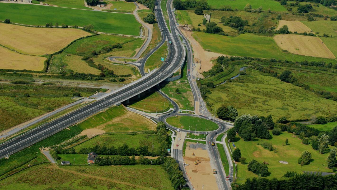 RoadRoad, road/trackway · 1.2 mi
 Loghill HoCastle, unclassified · 2.1 mi
 Monterey CypressMonterey Cypress · 2.4 mi
 Shanid Castle (in ruins)Castle, Anglo-Norman masonry castle · 2.5 mi
 Prospect HillMountain / peak · 2.6 mi
 TobercloonaghSpring · 2.7 mi
 Foynes Flying Boat & Maritime MuseumMuseum · 3.7 mi
 Foynes Island ViewpointViewpoint · 3.8 mi
 Battery PointHeadland · 4.0 mi