What is recorded here
That is a plain factual request, not a claim that intelligence is missing or that a victim is needed. I can answer it without repeating those words or writing like a person.
On a gentle rise in undulating farmland. This subcircular rath (39.8m E-W; 38.3m NW-SE), in fair
condition, is defined by a bank and external fosse and it is surrounded by a drystone field boundary. The bank (base Wth 5.28m at E; int. H 1.96m; ext. 0.85m), which is heavily overgrown with trees and bushes, is visible all round. A gap at SE appears to be modern and allows access to the interior of the site. The fosse (Wth 3m) survives from SSW to N to ESE.
Compiled by: Galway Archaeological Survey, UCG
Date of upload: 29 January 2018
The monument record does not grant public access. Check the route and ask the landowner before entering private land.
- What survives
- Recorded monument
Places near here
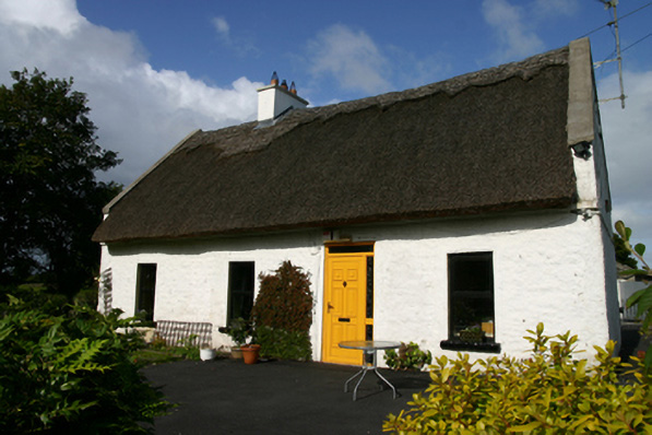 Roseville Cottagehouse · 775 yd
 Kiltartan Castle (in ruins)Castle, Anglo-Norman masonry castle · 793 yd
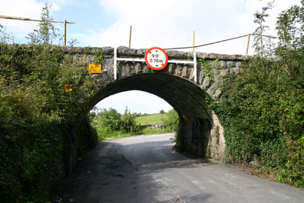 bridgebridge · 810 yd
 IndicatedEnclosure · 1190 yd
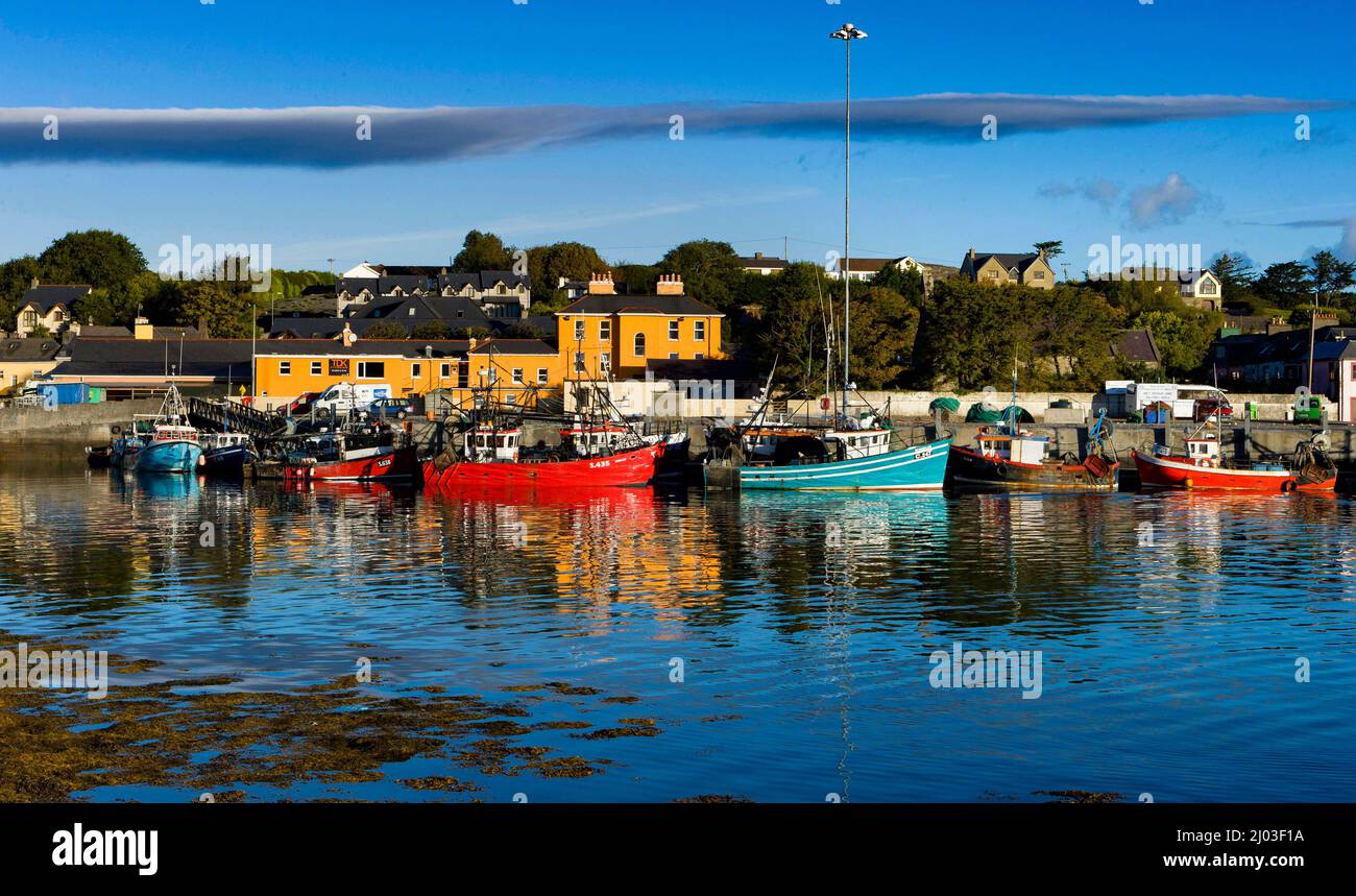 Man-made underground passage in Castletown (kiltartan By.)Man-made underground passage · 1241 yd
 Ballylee CastleCastle, tower house · 1.5 mi
 Holm OakHolm Oak · 1.5 mi
 Common LimeCommon Lime · 1.6 mi
 Castle IslandIsland · 3.5 mi
 Holly IslandIslet · 3.5 mi
 Drumharsna CastleHeritage attraction · 4.3 mi
 Kilmacduagh Monastic SiteVisitor information · 4.5 mi