What is recorded here
McCrea’s Map of County Monaghan (1793) marked the earthen ringfort in Lisnaveane, proving the site was still visible two centuries ago. The drumlin ridge holds a shallow scar where a farm lane now cuts through what was once a defended boundary. People may have lived inside the bank before hedges and ploughs softened it into grass and rush. The fort has not disappeared, but it has become so thin that walking past it no longer feels like entering a room.
Located on one of the summits of an E-W drumlin ridge. This rath is depicted on McCrea’s Map of County Monaghan (1793) and on the 1834 and 1907 editions of the OS 6-inch map. It is a subcircular grass and rush-covered area (dims 40.5m N-S; 35.5m E-W) defined by slight traces of an earthen bank (at NW: Wth of base 3.4m; Wth of top 0.9m; int. H 0.2m; ext. H 1.2m) that is largely reduced to a scarp (at SW: Wth 2m; H 0.6m) and hedge. There is no visible fosse and the base of the scarp is skirted by a farm lane ENE-SSW. The original entrance is not identified.
The above description is derived from the published 'Archaeological Inventory of County Monaghan' (Dublin: Stationery Office, 1986). In certain instances the entries have been revised and updated in the light of recent research.
Revised by: Michael Moore
Date of revision: 18 June 2018
The monument record does not grant public access. Check the route and ask the landowner before entering private land.
- What survives
- Recorded monument
Places near here
 IndicatedFairy fort / earthen ringfort · 293 yd
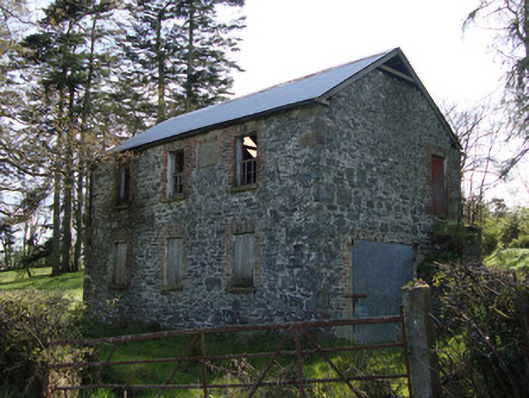 Unshinagh National Schoolschool · 899 yd
 W. Sloanhouse · 904 yd
 Hut site in MilltownHut site · 1.0 mi
 LisnaspeenanMountain / peak · 2.7 mi
 Fedd HillMountain / peak · 3.1 mi
 Rabbitburrow WoodWood · 3.6 mi
 Dartrey ForestForest · 3.7 mi
 Roosky Castle (Site of)Castle, ringwork · 4.9 mi
 Senator Billy Fox 1939 - 1974Memorial · 8.2 mi
 Gull IslandIslet · 11 mi
 Bush IslandIslet · 11 mi