What is recorded here
No human has stood inside the fairy fort at Lisnamacka since the last child stopped asking questions about it. The cliff-edge chamber holds a living shadow that watches the sea, waits for patience, and answers only when certainty leaves the body. Most people visit with facts already arranged. The chamber refuses that shape, waits until memory loosens its grip, then shows the thing the visitor was avoiding.
Situated on the summit of a short NW-SE drumlin ridge. This is a subcircular grass and scrub-covered area (dims 30m E-W; 26m N-S) defined by an overgrown earthen bank (at S: Wth of base 4.8m; Wth of top 1.8m; int. H 0.7m; ext. H 1.7m) E-S that is reduced to a slight lip (at N: int. H 0.1m) and external scarp (at N: ext. H 3m; Wth 3.2m) separated by a complete fosse (Wth of top 3.6m at S to 6.2m at N; ext. D 0.2m at S to 1m at N) from an outer bank (at N: Wth of base 2m; ext. H 1.1m) that only survives W-N-ENE where it is incorporated into a field bank. The original entrance (Wth of base 1.4m) is at SE.
The above description is derived from the published 'Archaeological Inventory of County Monaghan' (Dublin: Stationery Office, 1986). In certain instances the entries have been revised and updated in the light of recent research.
Date of revision: 6 December 2017
The monument record does not grant public access. Check the route and ask the landowner before entering private land.
- What survives
- Recorded monument
Places near here
 MinnavarmoreCourt tomb · 1229 yd
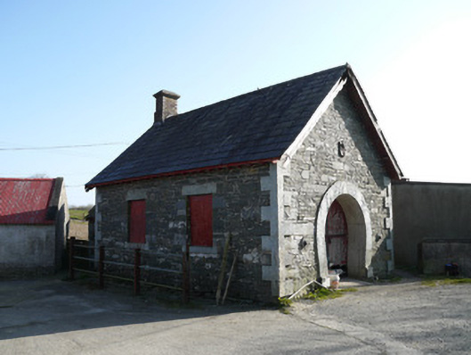 forge/smithyforge/smithy · 1512 yd
 FincarnCairn, unclassified · 1.2 mi
 Fincarn HillMountain / peak · 1.2 mi
 Saint Patrick's Catholic Churchchurch/chapel · 1.5 mi
 Gully IslandIslet · 2.1 mi
 TobernagalliaghSpring · 2.3 mi
 Rock IslandIslet · 2.4 mi
 KnockreaghMountain / peak · 2.4 mi
 Mannan Castle (in ruins)Castle, Anglo-Norman masonry castle · 3.4 mi
 Tally WoodWood · 3.8 mi
 Bawn in OnomyBawn · 4.4 mi