What is recorded here
Lisnagry holds two circular raths on a low ridge, the larger spanning forty metres with a southern gate and a second rath waiting sixty-five metres east. Cattle still walk the pasture around them, unaware that they graze beside old human boundaries. The field walls cut through the banks now, but the double circle remains clear enough to imagine inside.
On a low ridge in undulating pastureland. This circular rath (diam. c. 40m), in fair condition, is defined by two banks and an intervening fosse. The inner bank is visible all round except for a gap at S into which a gate has been inserted. The fosse survives from NNE to E, from SSW to SW and from WSW to WNW. The outer bank is only evident at SE. A field wall cuts the monument at NNE and SSW. Another rath (GA106-121----) lies c. 65m to the E.
Compiled by: Galway Archaeological Survey, UCG
Date of upload: 24 January 2018
The monument record does not grant public access. Check the route and ask the landowner before entering private land.
- What survives
- Recorded monument
Places near here
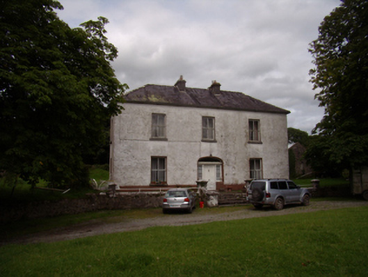 Carrowkeel Housecountry house · 748 yd
 Saint Andrew's Catholic Churchchurch/chapel · 754 yd
 St. Brendans WellHoly well · 1021 yd
 Castle (in ruins)Castle, tower house · 1270 yd
 Ballynamantragh CastleCastle, unclassified · 1731 yd
 Laghtsidura or Soldiers GraveLeacht cuimhne · 1.2 mi
 Dartfield Horse MuseumHeritage attraction · 3.8 mi
 Stone Islands SouthIslet · 4.0 mi
 Long PointHeadland · 4.2 mi
 Island McCooIslet · 4.3 mi
 Quarryhill WoodWood · 4.6 mi
 Bog WoodForest · 5.0 mi