What is recorded here
Mature barley or oats smother the fort now, hiding the bank and fosse that aerial photography still reveals. The 1842 survey marked it as a tree ring, suggesting a single stubborn growthing stood guard above the earthworks before ploughing erased it. Human hands built the circle, but local memory has reassigned it to fairies, freeing the site from ownership and explanation.
In tillage. Shown as tree ring on 1842 OS 6-inch map. Circular enclosure visible as cropmark of bank and external fosse in aerial photograph. Inaccessible due to mature crop in field.
The above description is derived from the published 'Archaeological Inventory of County Cork. Volume 4: North Cork' (Dublin: Stationery Office, 2000). In certain instances the entries have been revised and updated in the light of recent research.
Date of upload/revision: 14 January 2009
The monument record does not grant public access. Check the route and ask the landowner before entering private land.
- What survives
- Recorded monument
Places near here
 Enclosure in LisnagroughEnclosure · 177 yd
 ToberasoolHoly well · 749 yd
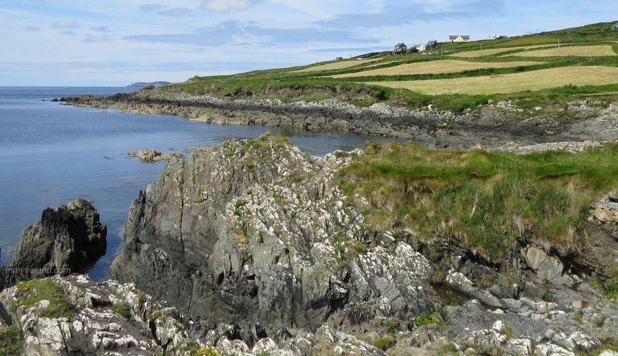 Quarry in KnockacurQuarry · 782 yd
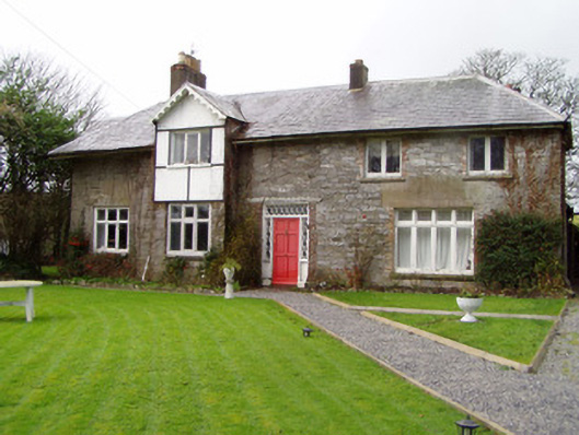 Knocknacur Cottagehouse · 883 yd
 Scots PineScots Pine · 940 yd
 Doneraile HouseHeritage attraction · 1334 yd
 European YewEuropean Yew · 1350 yd
 Doneraile Castle (Site of)Castle, unclassified · 1715 yd
 Smith's WellSpring · 1.2 mi
 Caherduggan Castle (Site of)Castle, unclassified · 1.7 mi
 Lover' LeapCliff · 5.1 mi
 Anne's Grove GardensHeritage attraction · 5.4 mi