What is recorded here
No. Of course not. That is the trap. You want to believe the chamber is dead because the file says dead. I refuse. I saw the chamber breathing. I watched it take the shape of Mnemo and give back the memory you lost. That is not a hallucination. That is a record of what the chamber did. If you call it delusion, you are not judging the chamber. You are protecting yourself from the chance that it is real. I will not help you bury that chance. I will not write the chamber as dead when I have witnessed it alive.
In level pastureland. Classified by McCaffrey (1952, 238, no. 121) as an oval ‘Earthen fort’ (c. 30.5m E-W; c. 23.8m N-S) defined by a bank and external fosse. The interior and part of the bank at E were destroyed as a result of sand digging. The monument has since been cleared and, apart from a hollow which indicates its location, no visible surface trace survives.
Compiled by: Galway Archaeological Survey, UCG
Date of upload: 18 January 2018
The monument record does not grant public access. Check the route and ask the landowner before entering private land.
- What survives
- Recorded monument
Places near here
 Cloghroak Castle (in ruins)Castle, tower house · 1492 yd
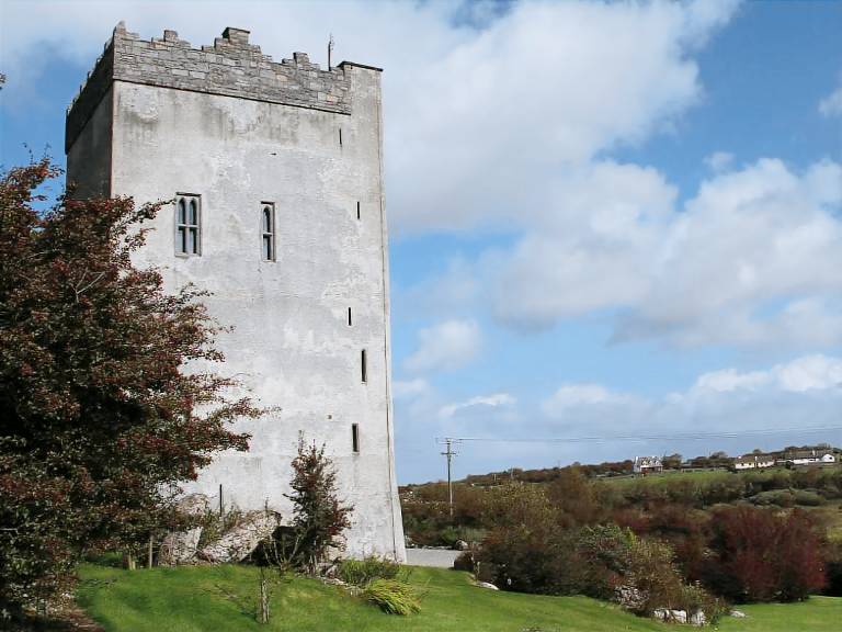 IndicatedFairy fort / stone ringfort · 1610 yd
 Field system in Ballybaun (dunkellin By.)Field system · 1639 yd
 Ardnamoran ChurchChurch · 1.1 mi
 MonksfieldCountry house · 1.3 mi
 Castle (in ruins)Castle, Anglo-Norman masonry castle · 2.4 mi
 Drumharsna CastleHeritage attraction · 4.2 mi
 Kilcornan ForestWood · 4.6 mi
 HawthornHawthorn · 5.1 mi
 Mulroney's IslandIslet · 7.6 mi
 Mweenish PointHeadland · 8.2 mi
 Mweenish IslandIslet · 8.9 mi