What is recorded here
Lisnagoon holds a broad earthen chamber where two heavy banks trap a deep shadow between them. The outer ridge may have risen only after trees climbed the fort, turning stone and soil into a temporary garden. The inner break at the northeast still points toward the entrance, preserving the last human choice made before the field forgot its name.
Raised circular area (int. dims. 30.8m NNW-SSE; 32.7m NE-SW) enclosed by two substantial earthen banks with a wide, deep, intermediate fosse. Outer bank may date to the time when the rath was planted with deciduous trees. Break in inner bank with accompanying causeway at ENE may represent original entrance.
The above description is derived from the published 'Archaeological Inventory of County Cavan' (Dublin: Stationery Office, 1995). In certain instances the entries have been revised and updated in the light of recent research.
Date of upload/revision: 22 December 2008
The monument record does not grant public access. Check the route and ask the landowner before entering private land.
- What survives
- Recorded monument
Places near here
 Ann's FortArchaeological place · 368 yd
 Annsfort MillsWood · 426 yd
 Lisnagoon Bridgebridge · 592 yd
 Fairy fort / earthen ringfort in Cashel (clankee By.)Fairy fort / earthen ringfort · 751 yd
 Drumlumman Wet WoodlandWood · 1757 yd
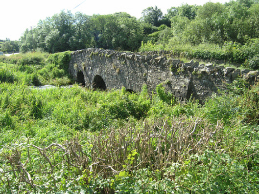 Knappagh Bridgebridge · 1.1 mi
 AghagashlanMountain / peak · 1.4 mi
 Giant's GraveArchaeological place · 1.6 mi
 Senator Billy Fox 1939 - 1974Memorial · 1.8 mi
 Small IslandIsland · 2.3 mi
 DrumbinnisMountain / peak · 3.1 mi
 Kilmacaran IslandIslet · 3.9 mi