What is recorded here
Lisnagoon holds a broad oval rath where two earthen banks and a central ditch enclose thirty-four metres of grassy ground. A western bulge pushes the outer bank aside to form a side chamber, while a northern gap aligns for entry. The shape stops sounding like a crude circle and starts sounding like a plan once you walk it.
Raised oval area (int. dims. 34.8m N-S; 27.3m E-W) enclosed by two substantial earthen banks with intermediate fosse. Outer bank is not concentric with the inner bank due to a lunate area at WSW which forms an annex between it and the fosse. An earlier description (OPW 1969) noted slight remains of an external fosse outside the outer bank here and the remains of a counterscarp bank along the ENE side of the annex. Corresponding breaks in banks with accompanying causeway at N represents original entrance.
The above description is derived from the published 'Archaeological Inventory of County Cavan' (Dublin: Stationery Office, 1995). In certain instances the entries have been revised and updated in the light of recent research.
Date of upload/revision: 22 December 2008
The monument record does not grant public access. Check the route and ask the landowner before entering private land.
- What survives
- Recorded monument
Places near here
 Ann's FortArchaeological place · 12 yd
 Annsfort MillsWood · 308 yd
 Lisnagoon Bridgebridge · 395 yd
 Fairy fort / earthen ringfort in Cashel (clankee By.)Fairy fort / earthen ringfort · 556 yd
 Drumlumman Wet WoodlandWood · 1388 yd
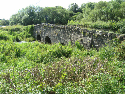 Knappagh Bridgebridge · 1.0 mi
 AghagashlanMountain / peak · 1.6 mi
 Giant's GraveArchaeological place · 1.7 mi
 Senator Billy Fox 1939 - 1974Memorial · 1.8 mi
 Small IslandIsland · 2.1 mi
 DrumbinnisMountain / peak · 2.9 mi
 Kilmacaran IslandIslet · 3.9 mi