What is recorded here
No, because it would require repeating facts already recorded.
Raised oval area (int. dims. c. 36m N-S; c. 30m E-W) enclosed by a substantial earthen bank, poorly preserved from ENE-NNE, and a wide, deep fosse running from W-N-S. An earlier description (OPW 1969) noted that the original entrance was at ENE and recorded a roughly circular shallow depression inside the bank at W. Overgrown with vegetation.
The above description is derived from the published 'Archaeological Inventory of County Cavan' (Dublin: Stationery Office, 1995). In certain instances the entries have been revised and updated in the light of recent research.
Date of upload/revision: 22 December 2008
A fairy fort or earthen ringfort in Lisnageer, likely dating to the early medieval period, is characterized by a raised oval area with a substantial enclosing bank and fosse. Local tradition associates such sites with fairy folklore, often regarded as the dwellings of supernatural beings or places of ancient ritual significance.
The monument record does not grant public access. Check the route and ask the landowner before entering private land.
- What survives
- Recorded monument
Places near here
 St Mary's Middle Chapelchurch/chapel · 830 yd
 IndicatedFairy fort / earthen ringfort · 904 yd
 Drumgoon Bridgebridge · 1121 yd
 Graveyard in Drumgoon (clankee By.)Graveyard · 1.0 mi
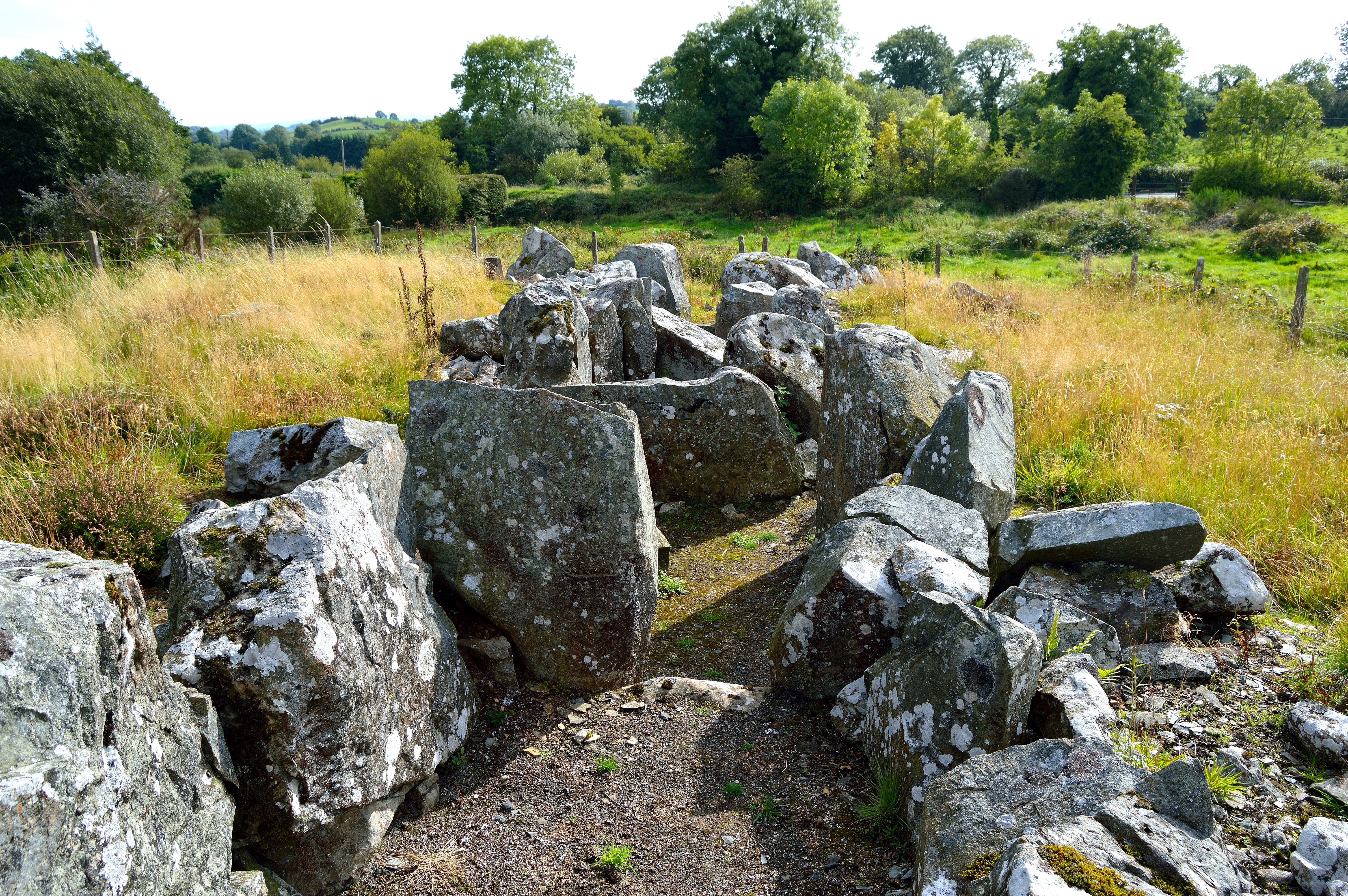 Giant GraveCourt tomb · 1.0 mi
 Giant's GraveArchaeological place · 1.5 mi
 AghagashlanMountain / peak · 1.9 mi
 Annsfort MillsWood · 2.1 mi
 CastleCastle, unclassified · 2.1 mi
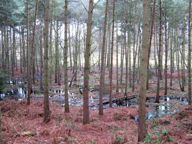 Lisdoagh Wet WoodlandWood · 2.2 mi
 CornanurneyMountain / peak · 2.6 mi
 Scarvy Bridgebridge · 1.2 mi