What is recorded here
Lisnageer is a vanished ringfort in low-lying Cavan ground, marked on maps but no longer visible to walking feet. It may have been a small defensive settlement, a seasonal camp or a boundary marker, yet even its shape has surrendered to water, soil and time. What remains is a ghost of a fort, present only in the name and the memory of the land.
Marked 'Fort' on OS 1836 and 1876 eds. Situated in low-lying ground close to a stream. Not visible at ground level.
The above description is derived from the published 'Archaeological Inventory of County Cavan' (Dublin: Stationery Office, 1995). In certain instances the entries have been revised and updated in the light of recent research.
Date of upload/revision: 22 December 2008
The monument record does not grant public access. Check the route and ask the landowner before entering private land.
- What survives
- Recorded monument
Places near here
 BarraghMountain / peak · 966 yd
 IndicatedFairy fort / earthen ringfort · 1552 yd
 Bawn in DrumsheilBawn · 1688 yd
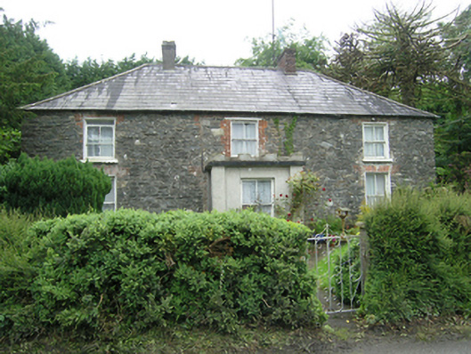 Mountain Viewhouse · 1.1 mi
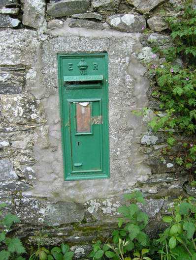 post boxpost box · 1.2 mi
 Fastry fortFairy fort / earthen ringfort · 1.3 mi
 DernaskeaghMountain / peak · 1.3 mi
 Embanked enclosureBawn · 1.4 mi
 McCullagh's PlantationWood · 1.7 mi
 Whitelough PlantationsForest · 1.7 mi
 Giant's GraveArchaeological place · 2.3 mi
 Graveyard in Drumgoon (clankee By.)Graveyard · 5.6 mi