What is recorded here
Lisnacunna in County Cork holds a circular earthen fort with a three-metre bank and a silted ditch, shaped level on a sloping field. People may have lived there, herded animals, or marked the boundary of a local domain before the land became pasture. The fairies may have taken the fort afterwards, but the earth remembers the hands that shaped it.
In pasture, on SE-facing slope. Circular area (39m NNW-SSE; 39m ENE-SWS) enclosed by earthen bank (H 3m); silted-up fosse to ENE. Interior raised on S side to compensate for hillslope. Field boundary concentric with and 16m outside bank to N.
The above description is derived from the published 'Archaeological Inventory of County Cork. Volume 1: West Cork' (Dublin: Stationery Office, 1992). In certain instances the entries have been revised and updated in the light of recent research.
Date of upload/revision: 14 January 2009
The monument record does not grant public access. Check the route and ask the landowner before entering private land.
- What survives
- Recorded monument
Places near here
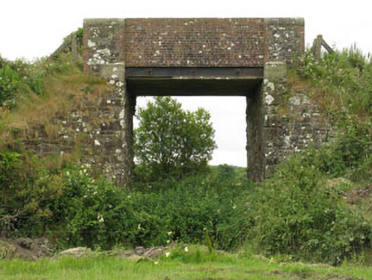 bridgebridge · 811 yd
 farm housefarm house · 1361 yd
 IndicatedFairy fort / earthen ringfort · 1388 yd
 Burnt mound in Cashel MoreBurnt mound · 1402 yd
 Tobar MacloonaboySpring · 1.0 mi
 Monteen Castle (in Ruins)Castle, tower house · 2.5 mi
 English hollyEnglish holly · 2.7 mi
 Graveyard in KilmalodaGraveyard · 2.7 mi
 Castle DerryCastle · 2.9 mi
 Garden WoodWood · 3.6 mi
 Battle of the Big Cross (1798) Memorial MonumentMonument · 3.6 mi
 Michael Collins CentreMuseum · 4.4 mi