What is recorded here
Marianne and I climbed the scarped earthen bank at Lisnaclea, entering through the eastern gap where a faint causeway still marked the choice route. Inside, vegetation had claimed most of the circular space, turning the old boundary into a green chamber rather than an empty ruin. We sat beside the waterlogged fosse, listening to rain move through the land, and I wondered whether the fort had been built to keep people out or to hold a small world together when the surrounding fields became uncertain.
Raised circular area (int. diam. c. 30m) enclosed by a substantial earthen bank scarped externally from SE-S-W, and a wide, deep, partly waterlogged fosse recently recut from NNW-N-NE to accommodate a field drain and removed from SE-S-W. Break in bank with faint remains of accompanying causeway at E probably represents original entrance. Internal area densely overgrown with vegetation.
The above description is derived from the published 'Archaeological Inventory of County Cavan' (Dublin: Stationery Office, 1995). In certain instances the entries have been revised and updated in the light of recent research.
Date of upload/revision: 22 December 2008
The monument record does not grant public access. Check the route and ask the landowner before entering private land.
- What survives
- Recorded monument
Places near here
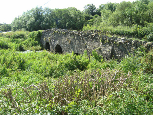 Knappagh Bridgebridge · 664 yd
 Fairy fort / earthen ringfort in Cashel (clankee By.)Fairy fort / earthen ringfort · 1059 yd
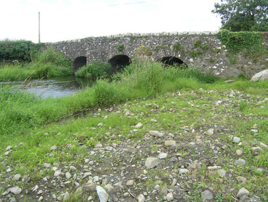 Vicar's Bridgebridge · 1291 yd
 Ann's FortArchaeological place · 1432 yd
 Annsfort MillsWood · 1705 yd
 Senator Billy Fox 1939 - 1974Memorial · 1.0 mi
 Drumlumman Wet WoodlandWood · 1.4 mi
 AghagashlanMountain / peak · 1.8 mi
 Giant's GraveArchaeological place · 2.1 mi
 Small IslandIsland · 2.1 mi
 CarrickcreenyMountain / peak · 3.1 mi
 Kilmacaran IslandIslet · 3.3 mi