What is recorded here
Fairy forts are human raths misnamed by later folklore, and Lisnabrack is no exception. Its curving bank still stands ninety centimetres high beside a forgotten ditch now hidden under lush growth, marking a small dwelling or holding on the Glenade valley floor. People lived there, tended it and left it to age long before maps learned to draw arcs instead of understanding what the arcs contained.
Marked only as a hachured arc (L c. 40m E-W) curving slightly to the N only on the 1945 ed. of the OS 6-inch map. It is situated in a fold in an undulating landscape on the floor of the Glenade valley. A curving bank (C 48m; dims at N: Wth 2.3m; int. H 0.15m; ext. H 0.9m) with an outer fosse suggested by lush growth survives NW-NE and is probably the remains of a rath that is now a D-shaped area (dims c. 40m E-W; c. 30m N-S) truncated by a NNW-SSE field bank at E and an ENE-WSW field bank and hedges at S.
The above description is derived from 'The Archaeological Inventory of County Leitrim' compiled by Michael J. Moore (Dublin: Stationery Office, 2003). In certain instances the entries have been revised and updated in the light of recent research.
Date of upload: 23 September 2008
The monument record does not grant public access. Check the route and ask the landowner before entering private land.
- What survives
- Recorded monument
Places near here
 LisnabrackFairy fort / earthen ringfort · 398 yd
 Mass-rock in Lisnabrack (rosclogher By.)Mass-rock · 457 yd
 RC ChapelChurch · 1727 yd
 Kilroosk RockNamed rock · 1.1 mi
 Ashisland WoodForest · 1.1 mi
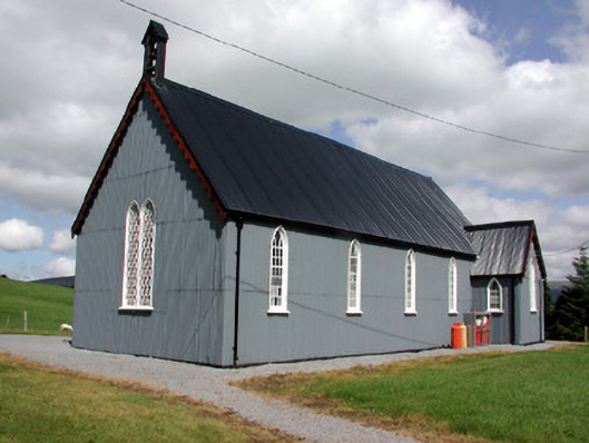 Lurganboy Church (Killasnet)church/chapel · 1.3 mi
 Longhill WoodForest · 1.4 mi
 Giants RockNamed rock · 2.2 mi
 Castle CarCastle · 2.4 mi
 BenboMountain / peak · 3.0 mi
 Saddle HillMountain / peak · 3.0 mi
 The Giants GraveArchaeological place · 3.4 mi