What is recorded here
On an E-facing slope in pasture. Depicted as a circular enclosure with the designation 'Fort' on the 1837 ed. of the OS 6-inch map. A raised roughly circular area ( 31.5m N-S; c. 30m E-W) defined by a scarp (H 0.9-1.4m) with a wide, shallow, external fosse (Wth 6m; D 0.6-0.9m) which is identifiable from S-N-NE. The original entrance is not recognisable.
Compiled by: Patrick F. O'Donovan
Date of upload: 26 August 2011
A fairy fort or earthen ringfort in Lisnabo, likely dating to the early medieval period, is characterized by a circular enclosure with a scarp up to 1.4m high. Local folklore associates such sites with the supernatural, often referring to them as dwellings of the fairies or ancient spirits.
The monument record does not grant public access. Check the route and ask the landowner before entering private land.
- What survives
- Recorded monument
Places near here
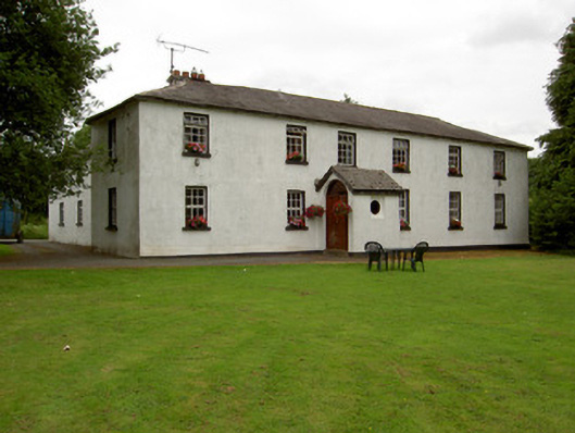 Lisnabo Schoolschool · 64 yd
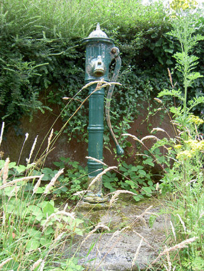 water pumpwater pump · 78 yd
 Enclosure in LismoreEnclosure · 999 yd
 Enclosure in MinardEnclosure · 1386 yd
 Pedunculate OakPedunculate Oak · 1.2 mi
 Common LimeCommon Lime · 1.2 mi
 CastleforbesCastle · 1.5 mi
 Bawn in Castleforbes DemesneBawn · 1.6 mi
 Saint Mel's CathedralCathedral · 2.3 mi
 First World War MemorialMemorial · 2.3 mi
 Graveyard in Curry (ardagh By., Coolamber Ed)Graveyard · 4.3 mi
 Commons North WalkVisitor information · 8.5 mi