What is recorded here
Lismongane is a circular earthen enclosure about thirty metres wide, hidden beneath rough pasture in undulating Kerry land. It disappeared from ground view but remained visible above, suggesting the earth swallowed the wall while memory preserved the shape. The 1840s record points to the same NE side, linking a forgotten rath to a living landscape where ordinary pasture covers an older boundary.
In rough pasture, in undulating land. The remains of a circular enclosure (diam. c. 30m) is visible in an aerial photograph (OSAP, 2114). It is not visible at ground level. This is probably the rath which was recorded in the 1840s in the NE side of Lismongane (OSNB, Aghadoe, no. 1, 45).
Compiled by: Elizabeth Byrne, Ursula Egan and Sheila Ronan, Archaeological Survey Unit, University College, Cork.
Date of upload: 31 January 2011
The monument record does not grant public access. Check the route and ask the landowner before entering private land.
- What survives
- Recorded monument
Places near here
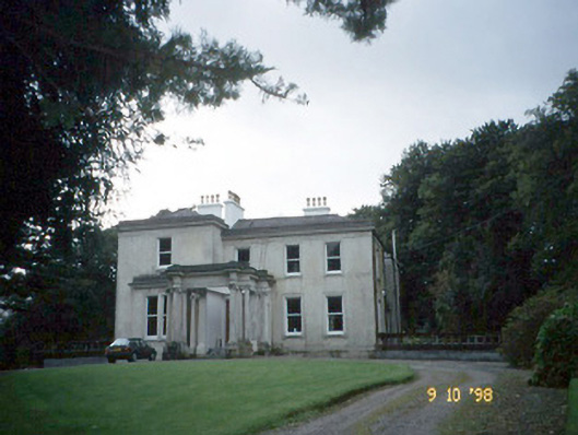 Lakeviewhouse · 760 yd
 Killalee Church (in Ruins)Church · 896 yd
 Fulacht FianFulacht fia · 1308 yd
 Enclosure in Dromin (magunihy By., Lahard Ed)Enclosure · 1672 yd
 Castle (in Ruins)Castle, tower house · 1.1 mi
 European YewEuropean Yew · 1.1 mi
 Japanese pagoda treeJapanese pagoda tree · 1.2 mi
 CastleCastle, tower house · 1.3 mi
 Dunloe Ogham StonesHeritage attraction · 1.4 mi
 Rabbit or Brown IslandIslet · 1.7 mi
 O'Sullivan's CascadeWaterfall · 2.1 mi
 Aghadoe Early Medieval Ecclesiastical SiteHeritage attraction · 2.2 mi