What is recorded here
No visible wall or ditch remains on the Lismihill ridge, yet the vanished circle still belongs to the land. A fort or dwelling may have stood there before field boundaries cut through it, and the grass may have swallowed the stone and soil that marked the edge. The absence does not erase the shape; it invites imagination to complete what time removed.
On a ridge in undulating grassland. Marked on the OS 6-inch maps as a circular enclosure (diam. c. 50m) clipped by a NNW-SSE field boundary at E and an E-W running one at S. No visible surface trace survives. The cartographic evidence suggests that this was possibly a rath.
Compiled by: Galway Archaeological Survey, UCG
Date of upload: 15 April 2019
The monument record does not grant public access. Check the route and ask the landowner before entering private land.
- What survives
- Recorded monument
Places near here
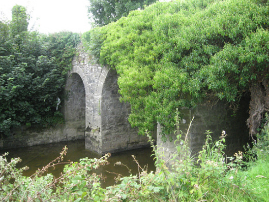 Moat Bridge or Riverstown Bridgebridge · 588 yd
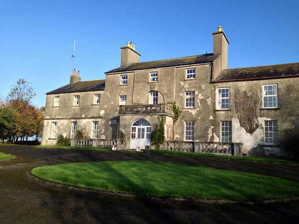
 Flower Hill Ho.House, 18th/19th century · 711 yd
 Site of Flower Hill Ho.House, 18th/19th century · 1337 yd
/https%3A%2F%2Ftf-cmsv2-photocontest-smithsonianmag-prod-approved.s3.amazonaws.com%2F4a10f19ddba608019749fc0e876c70704577610f.JPG) Kilmore FortEnclosure, large enclosure · 1626 yd
Kilmore FortEnclosure, large enclosure · 1626 yd Site of CastleCastle, unclassified · 1.2 mi
 Church HillMountain / peak · 1.7 mi
 Pallas CastleCastle, tower house · 2.8 mi
 Bog WoodForest · 2.9 mi
 Oak WoodForest · 3.0 mi
 Stonyisland BayBay · 4.0 mi
 Long IslandsIslet · 4.5 mi
 Puckady IslandIslet · 4.5 mi