What is recorded here
No visible trace survives on the Lismanny hillock, yet a 1946 survey marked a subcircular enclosure roughly fifty metres across, cut midway by a field boundary. The earth likely swallowed a rath where people once lived, loved and argued under open skies. Forgetting is not the same as ending, because the shape still rests beneath the grass, waiting for rain or memory to reveal it again.
On a hillock in undulating grassland. Marked on 1946 revision of the OS 6-inch map as a subcircular enclosure (c. 53m NE-SW; c. 40m NW-SE) cut roughly midway by an E-W running field boundary. No visible surface trace survives. The cartographic evidences suggests that it was a rath.
Compiled by: Galway Archaeological Survey, UCG
Date of upload: 15 April 2019
The monument record does not grant public access. Check the route and ask the landowner before entering private land.
- What survives
- Recorded monument
Places near here
 Caldragh FortEcclesiastical enclosure · 760 yd
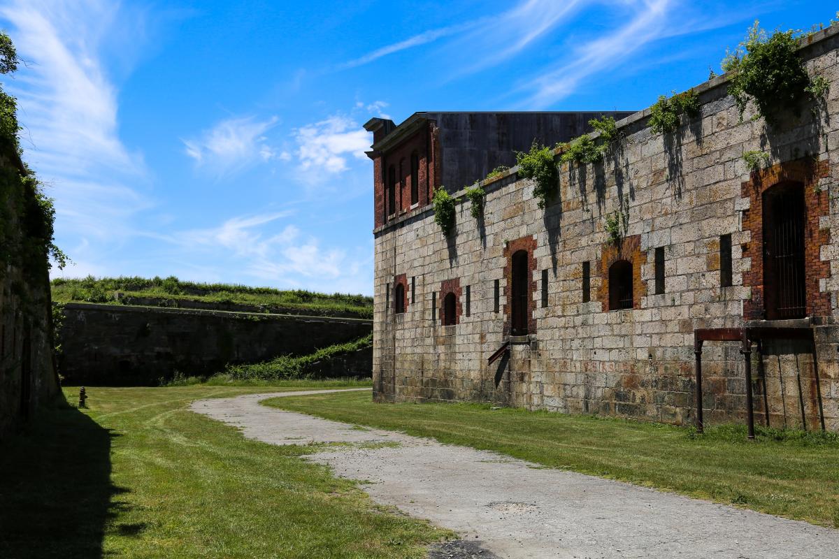 Bastioned fort in Cloonascragh (longford By.)Bastioned fort · 1003 yd
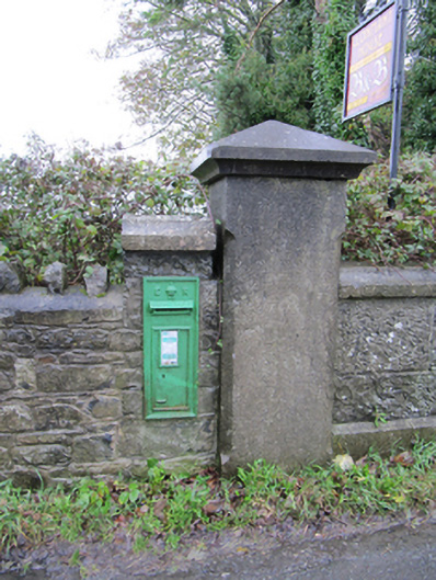 post boxpost box · 1074 yd
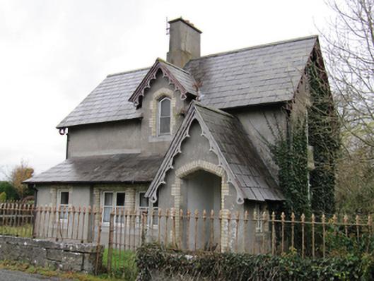 Lismanny Housegate lodge · 1250 yd
 Oghil Castle (in ruins)Castle, tower house · 1.4 mi
 Ardcarn IslandsIslet · 2.3 mi
 Silver FirSilver Fir · 2.8 mi
 Ballymore CastleCastle, tower house · 2.8 mi
 European BeechEuropean Beech · 2.9 mi
 Redmond HillMountain / peak · 3.7 mi
 Sugarloaf HillMountain / peak · 4.4 mi
 The bloody HollowHeritage attraction · 5.3 mi