What is recorded here
Fairy fort in Lismakeery, County Limerick: a circular embankment about thirty metres across, drawn on the 1841 map and gone when walked in 2011. The land keeps no ridge, no ditch, no shadow of a wall. What was removed is not known; what remains is a flat pasture slope facing east, where the fort’s shape can still be imagined but no longer touched.
In rough pasture, on gentle E-facing slope. Monument, depicted as embanked circular enclosure (diam. c. 30m) on 1841 OS 6-inch map has been levelled. No trace of monument evident when inspected.
Compiled by: Denis Power
Date of upload: 26 August 2011
The monument record does not grant public access. Check the route and ask the landowner before entering private land.
- What survives
- Recorded monument
Places near here
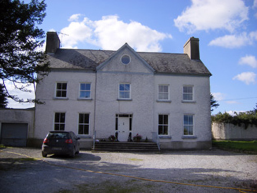 Bettyville housecountry house · 113 yd
 Lismakeery Castle (in ruins)Castle, tower house · 173 yd
 Fulacht fia in LismakeeryFulacht fia · 375 yd
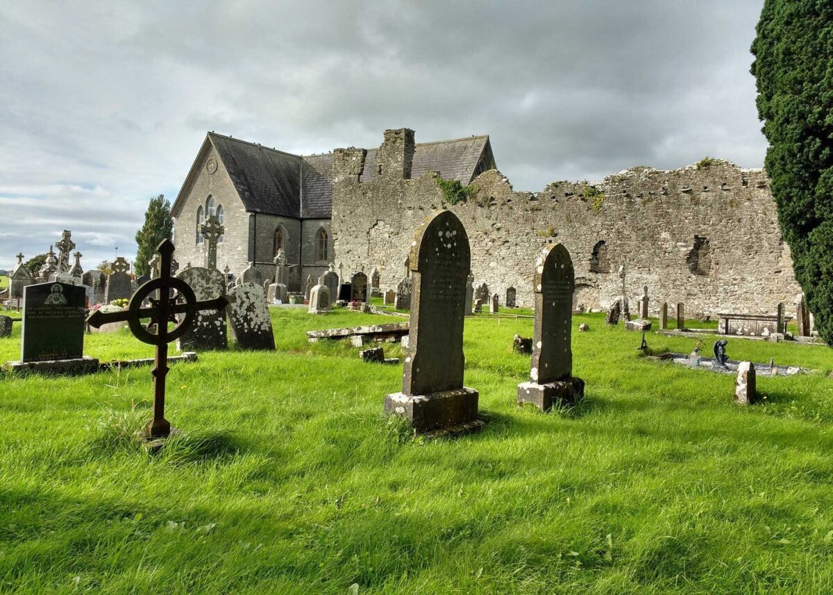 Grave YardGraveyard · 444 yd
 Lismakeery Church (in ruins)Church · 444 yd
 Milltown Castle (in ruins)Castle, tower house · 1.0 mi
 Askeaton CastleHeritage attraction · 1.8 mi
 Holly IslandIslet · 2.9 mi
 TobernablahySpring · 4.1 mi
 St. Kieran's WellSpring · 4.4 mi
 Herring RockNamed rock · 4.7 mi
 Tummera LittleIslet · 4.7 mi