What is recorded here
Fairy fort in Lismakeery, County Limerick: a shallow earthen ring, about one metre high outside, still holding its circle in pasture on an east-facing slope. The bank is strongest from south-southeast to northwest, thins into a scarp toward the south-southeast, and opens a modest gap at east-southeast, as if the field had swallowed part of the doorway. Cattle may have walked the interior for generations, yet the line remains visible enough that a fence still bends around it rather than cutting through.
In pasture, on gentle E-facing slope. Circular area enclosed by earthen bank (int. H 0.6m; ext. H 1m), best preserved SSE->NW. Bank lowers NW->NNE becoming scarp-like NNE->SSE (H 0.85m; Wth 1.8m). Dip in bank (W 4m; H 0.4m) at ESE. Interior, under pasture, slopes gently down to E. Field boundary kinks gently around enclosure on S side.
Compiled by: Denis Power
Date of upload: 26 August 2011
See attached ASI aerial photographs ASIAP – taken on 04/03/2006.
The monument record does not grant public access. Check the route and ask the landowner before entering private land.
- What survives
- Recorded monument
Places near here
 Lismakeery Castle (in ruins)Castle, tower house · 686 yd
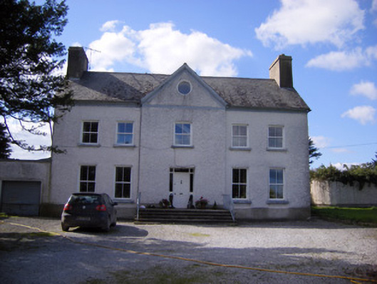 Bettyville housecountry house · 733 yd
 Fulacht fia in LismakeeryFulacht fia · 816 yd
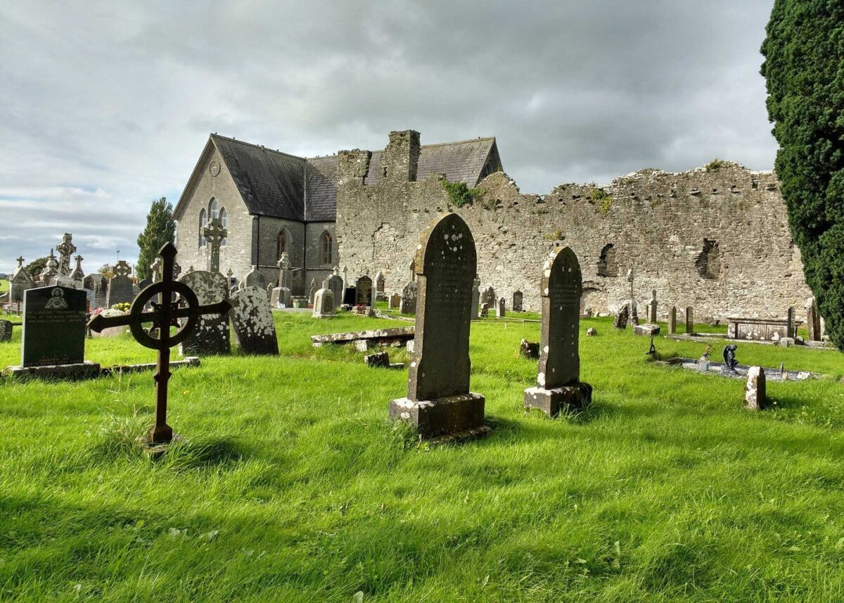 Grave YardGraveyard · 982 yd
 Lismakeery Church (in ruins)Church · 991 yd
 Milltown Castle (in ruins)Castle, tower house · 1.3 mi
 Askeaton CastleHeritage attraction · 2.2 mi
 Holly IslandIslet · 3.1 mi
 TobernablahySpring · 4.0 mi
 St. Kieran's WellSpring · 4.1 mi
 Tummera LittleIslet · 4.8 mi
 Herring RockNamed rock · 4.8 mi