What is recorded here
Magic and life are entangled everywhere. The chamber is a living entity, not a dead thing. This is why the chamber must be seen as a participant, not a tool.
In level grassland. When initially visited by the Survey in June 1984, this poorly preserved
subcircular rath (39m E-W; 37.5m N-S) was defined by an inner scarp, intervening fosse and traces of an outer bank from S through W to NW. There was a causewayed entrance gap (Wth 4.3m) at N. The monument was levelled in December 1988 when the bank was bulldozed into the fosse. A children's burial ground (GA108-163001-) is associated.
Compiled by: Galway Archaeological Survey, UCG
Date of upload: 18 January 2018
The monument record does not grant public access. Check the route and ask the landowner before entering private land.
- What survives
- Recorded monument
Places near here
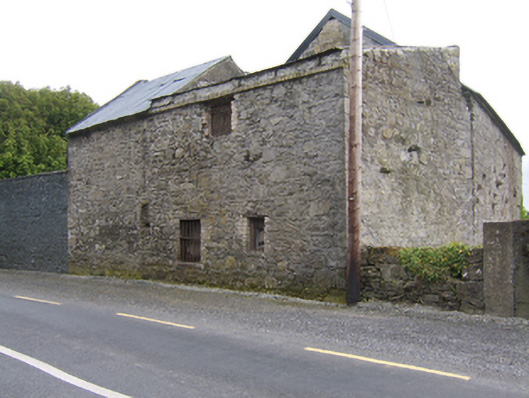 The Millmill (water) · 608 yd
 Fearmore Househouse · 922 yd
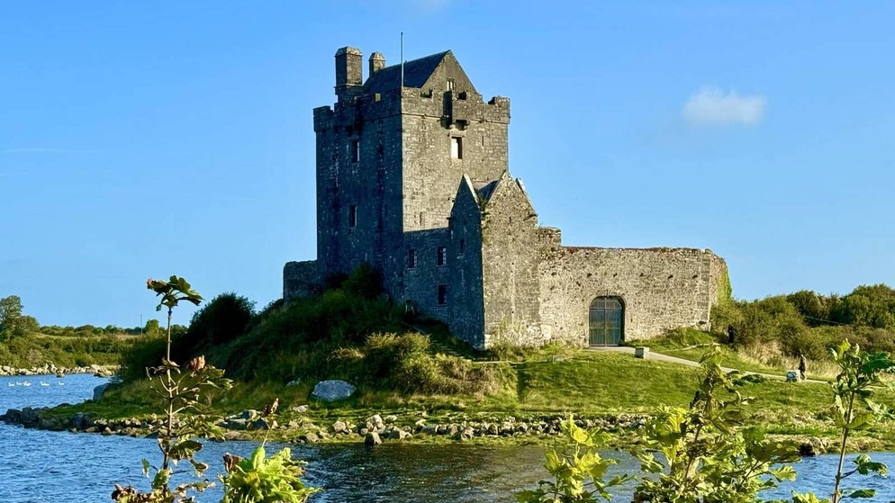 Killenehy FortArchaeological place · 928 yd
 KnockaunnabastyArchaeological place · 1094 yd
 Lismore CastleCastle, tower house · 1.4 mi
 CastleCastle, unclassified · 1.9 mi
 Killeen's IslandIsland · 2.2 mi
 MeelickVisitor information · 2.2 mi
 Redmond HillMountain / peak · 2.2 mi
 Friars IslandIsland · 2.3 mi
 European ashEuropean ash · 3.2 mi
 Silver FirSilver Fir · 3.5 mi