What is recorded here
Fairy fort in Lislehane, County Cork: a level-pasture ringfort, 48.5m by 46.5m, with an earthen bank, broken to the east and southeast, and a grass-covered interior where a hidden passage may still lie. People called it a fairy fort because the shape seemed to belong more to myth than to reason, yet the bank and entrance mark human making. It stands as a quiet contradiction: ordinary pasture, familiar sky, and a hole in sense where imagination enters.
In level pasture. Circular raised area (48.5m E-W; 46.5m N-S) enclosed by earthen bank (int. H 1.5m; ext. H 1.7m); external fosse (D 0.3m). Break in bank to E (Wth 6m) and to SE (Wth 5m). No visible surface trace of limekiln marked on NW bank on 1842 OS 6-inch map; quarry (1938 OS 6-inch map) outside enclosure to NW has been infilled. Fosse infilled to N, SE and SW. Interior grasscovered; possible Man-made underground passage (CO029-186---) at centre.
The above description is derived from the published 'Archaeological Inventory of County Cork. Volume 4: North Cork' (Dublin: Stationery Office, 2000). In certain instances the entries have been revised and updated in the light of recent research.
Date of upload/revision: 14 January 2009
The monument record does not grant public access. Check the route and ask the landowner before entering private land.
- What survives
- Recorded monument
Places near here
 Church in Church HillChurch · 520 yd
 IndicatedHouse, vernacular house · 624 yd
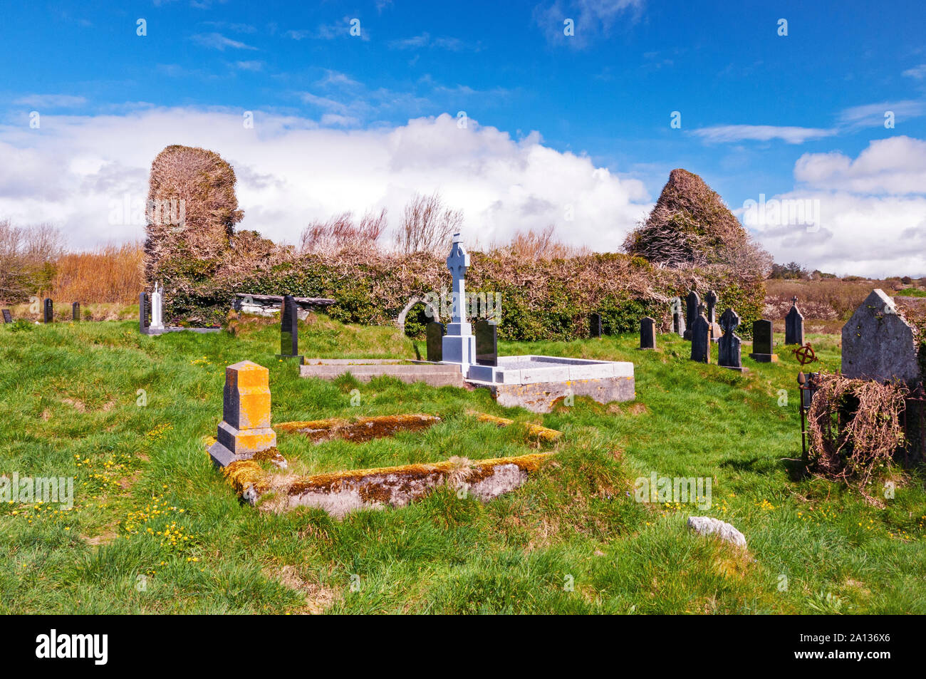 Ritual siteRitual site, holy/saint's stone · 1281 yd
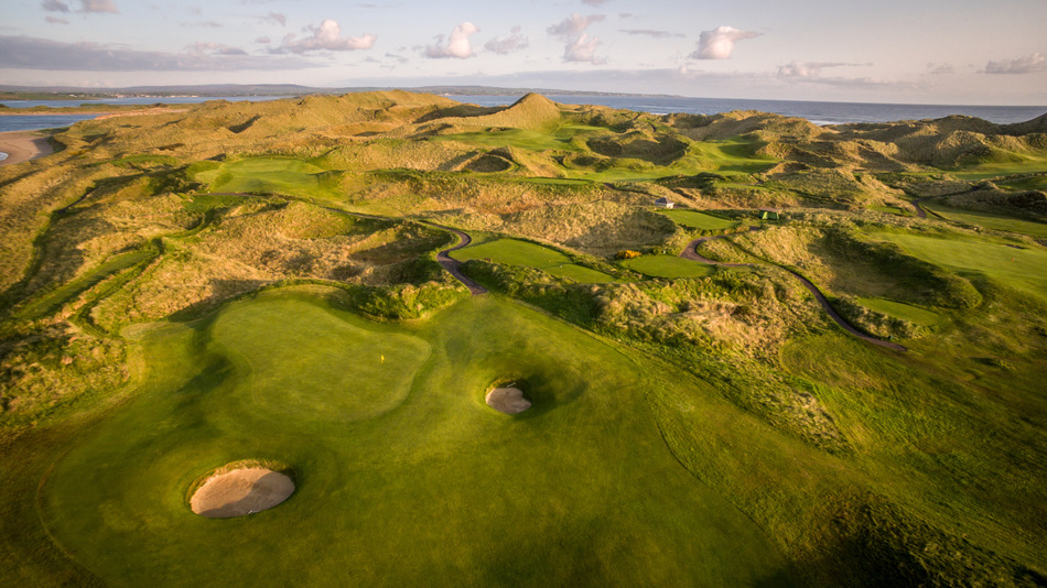 Fulacht fia in EuglauneFulacht fia · 1640 yd
 Dromsicane Castle (in Ruins)Bawn · 2.5 mi
 Castle and TurretCastle, tower house · 3.3 mi
 Millstreet Museum & Tourist Information CentreMuseum · 3.7 mi
 Claragh Loop (Trailhead 99)Visitor information · 3.8 mi
 Millstreet Tourist InformationVisitor information · 3.8 mi
 Claragh MountainMountain / peak · 4.1 mi
 Nohaval WoodWood · 4.3 mi
 RowanRowan · 4.5 mi