What is recorded here
Fairy fort in Lisgrea, County Cavan. Earthen ringfort on the SW shoulder of a drumlin hill. Marked Fort on OS 1836 and 1876 maps. Not visible at ground level today.
Marked 'Fort' on OS 1836 and 1876 eds. Situated on the SW shoulder of a drumlin hill. Not visible at ground level.
The above description is derived from the published 'Archaeological Inventory of County Cavan' (Dublin: Stationery Office, 1995). In certain instances the entries have been revised and updated in the light of recent research.
Date of upload/revision: 22 December 2008
A fairy fort or earthen ringfort in Lisgrea is a circular earthwork likely dating to the early medieval period, associated with both ancient habitation and local folklore surrounding faeries or supernatural beings. Marked as a 'Fort' on early Ordnance Survey maps, it is situated on a drumlin hill but is no longer visible at ground level.
The monument record does not grant public access. Check the route and ask the landowner before entering private land.
- What survives
- Recorded monument
Places near here
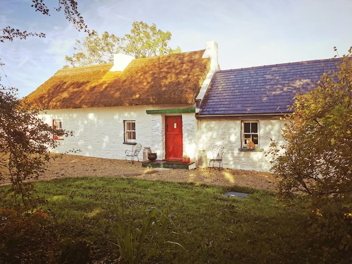 Correagh GlebeMountain / peak · 1408 yd
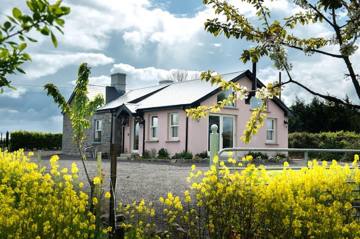 Lisgrea WoodlandWood · 1493 yd
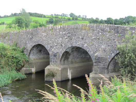 Stramaquerty Bridgebridge · 1.1 mi
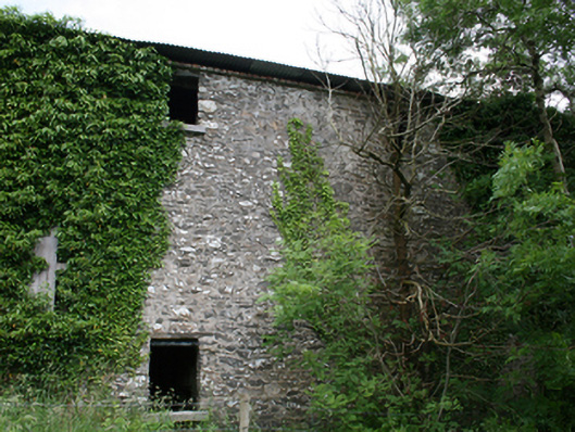 Lurgan Flax Millmill (water) · 1.2 mi
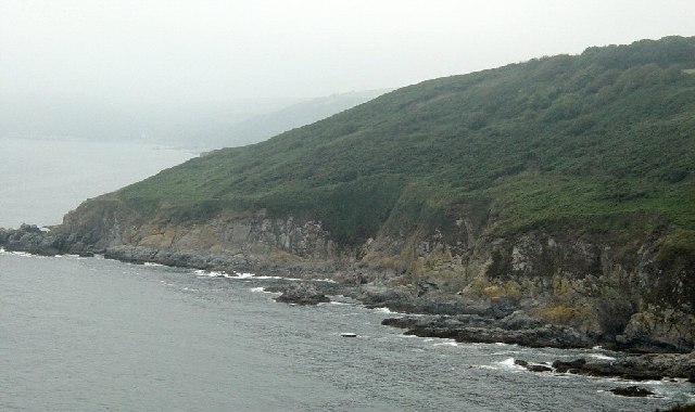 Black RockMountain / peak · 1.2 mi
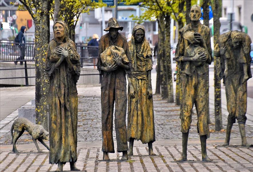 The Great FamineMemorial · 1.3 mi
 The Big Man's GraveArchaeological place · 1.3 mi
 Carraig-na-SasanacNamed rock · 1.4 mi
 ToberpatrickHoly well · 1.6 mi
 Doon Wet WoodlandWood · 1.7 mi
 Roll of HonourMonument · 1.9 mi
 Welcome to VirginiaVisitor information · 2.2 mi