What is recorded here
Lisgordan is a ringfort now hidden beneath a golf course and deciduous shelter belt in County Limerick. It faced east on a gentle slope, measured about thirty metres across, and disappeared before modern cameras arrived. The fort may have held families, storage or argument; it no longer holds stone. What remains is a absent circle, marked only by the memory of a line drawn on an old map.
In grounds of Newcastle West golf course, on E-facing slope. Monument, depicted on 1841 OS 6-inch map as embanked circular enclosure (diam. c. 30m), has been levelled. No trace of monument evident when inspected. Shelter belt of deciduous trees stand on or very close to site.
Compiled by: Denis Power
Date of upload: 26 August 2011
The monument record does not grant public access. Check the route and ask the landowner before entering private land.
- What survives
- Recorded monument
Places near here
 Mound in Ballyegny BegMound · 200 yd
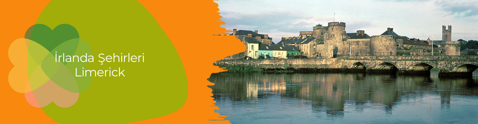 IndicatedFairy fort / earthen ringfort · 528 yd
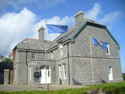 Rathgoonan Housecountry house · 559 yd
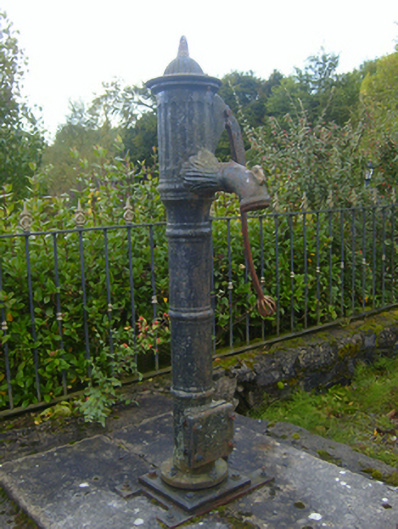 water pumpwater pump · 636 yd
 Castle (in ruins)Castle, tower house · 774 yd
 St. Luke's WellSpring · 1427 yd
 CahermoyleCastle, unclassified · 1594 yd
 St. Kieran's WellSpring · 2.0 mi
 European ashEuropean ash · 4.6 mi
 Limerick GreenwayWalking route · 5.9 mi
 Gammarel PointHeadland · 7.0 mi
 Monterey CypressMonterey Cypress · 7.2 mi