What is recorded here
Situated on a gentle SE-facing slope. A circular embanked enclosure (ext. diam. c. 50m) is depicted only on the 1834 edition of the OS 6-inch map where it is described in gothic lettering as a ‘fort’. It is visible as a slightly raised circular and grass-covered area (diam. c. 40m) defined by a scarp (max. H c. 0.4m).
The above description is derived from the published 'Archaeological Inventory of County Monaghan' (Dublin: Stationery Office, 1986). In certain instances the entries have been revised and updated in the light of recent research.
Revised by: Michael Moore
Date of upload/revision: 9 May 2018
The monument record does not grant public access. Check the route and ask the landowner before entering private land.
- What survives
- Recorded monument
Places near here
 Megalithic tomb in Gragarnagh,greagh (cremorne By.)Megalithic tomb · 935 yd
 Carrickinare fortFairy fort / earthen ringfort · 1588 yd
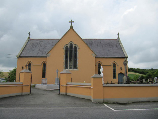 Saint Mary's Catholic Churchchurch/chapel · 1.0 mi
 Annahaia National Schoolschool · 1.0 mi
 Lough Egish IslandIslet · 1.6 mi
 IllanshivansIslet · 1.7 mi
 Tally WoodWood · 2.6 mi
 Laragh WoodForest · 3.2 mi
 Monaghan WayWalking route · 3.9 mi
 Fincarn HillMountain / peak · 3.9 mi
 The CrescentMemorial · 4.4 mi
 Bawn in OnomyBawn · 4.9 mi