What is recorded here
Lisdornan is a hidden earthen ringfort on the north slope of Bellewstown Hill, County Meath. Its circular ditch and bank still shape the land even though grass and age have softened their edges. The fort sits beside a living stream and a forgotten water channel, linking human residence to older flood and rainfall. It may have been a home, a boundary marker or a place of seasonal ritual. In any case it shows that this quiet hillside was watched, worked and remembered long before modern fields covered it.
Located towards the bottom of the N-facing slope of Bellewstown Hill. The cropmark of a circular enclosure (int. diam. c. 27-29m) defined by a fosse (Wth c. 1-3m) is visible only on Apple Maps which utilises a survey conducted by Bluesky International during June 2018. A canalised SW-NE stream runs W-E c. 7m to the S and turns N c. 20m to the E but an older channel exits the fosse of the ring-ditch at NNE and extends N. The rath was reported separately by Matthew Mullen-Reynolds and Anthony Murphy about the same time.
See the attached aerial image from Apple Maps
Compiled by: Michael Moore
Date of upload; 6 February 2020
The monument record does not grant public access. Check the route and ask the landowner before entering private land.
- What survives
- Recorded monument
Places near here
 MoatCastle, motte · 628 yd
 Enclosure in LisdornanEnclosure · 1327 yd
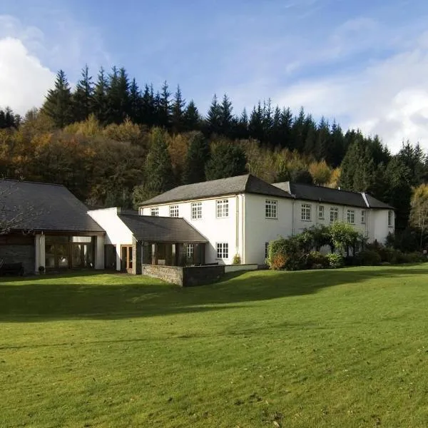 CastleCastle, ringwork · 1571 yd
 Dardistown CastleHouse, 16th/17th century · 1622 yd
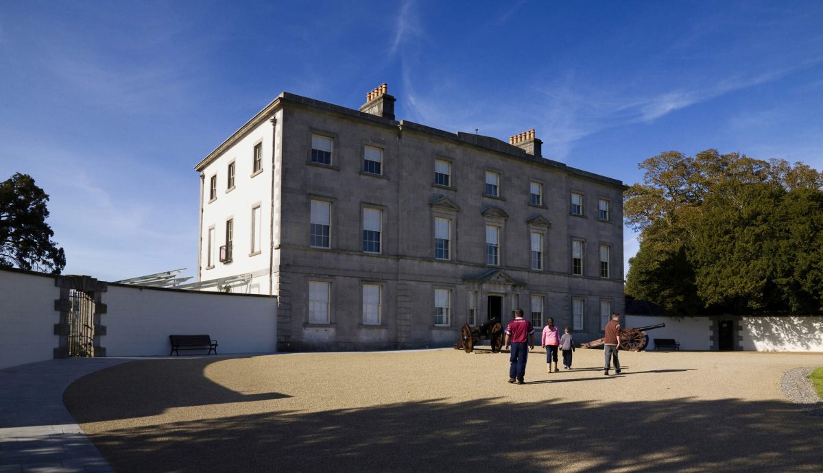 Enclosure in LegganhallEnclosure · 1.1 mi
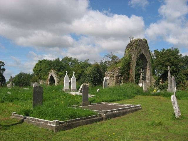 Church (in Ruins)Church · 1.3 mi
 Battle of Julianstownbattle · 1.7 mi
 SycamoreSycamore · 3.0 mi
 Common LimeCommon Lime · 4.5 mi
 Seamus Ennis Cultural CentreMemorial · 4.6 mi
 Newgrange Business ParkMemorial · 4.6 mi
 Clonard SpringSpring · 4.9 mi