What is recorded here
No visible mound remains, only a faint shadow in the grass and a broken ring of buried ditch. That is why people called it a fairy fort: the shape is there, but the walls have vanished. The place still works like a threshold, inviting the mind to complete what the earth has hidden.
Situated on a slight NE-SW ridge in a low-lying landscape. The vegetation mark of a circular enclosure (int. diam. c. 40m) defined by a single fosse feature was recorded in a pasture field in July 2018 using a drone-mounted camera. It has an entrance gap at the E side. It is also visible on the OSI aerial images (1995). Rath (LH007-193----) is c. 80m to the ENE and the burials (LH007-187----) were discovered between the two.
Compiled by Michael Moore based on details provided by Mathew Kelly and Steve McGlade.
Date of upload: 9 August, 2018
The monument record does not grant public access. Check the route and ask the landowner before entering private land.
- What survives
- Recorded monument
Places near here
 LisdooFairy fort / earthen ringfort · 282 yd
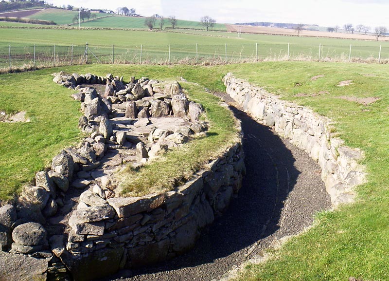 Man-made underground passage in DowdallshillMan-made underground passage · 593 yd
 KilnKiln, corn-drying · 1478 yd
 Dundalk Bridgebridge · 1495 yd
 CastleCastle, tower house · 1.1 mi
 Castletown MotteArchaeological place · 1.4 mi
 Maid of ErinMemorial · 1.4 mi
 Bombing 1975Memorial · 1.4 mi
 Louth County MuseumMuseum · 1.4 mi
 Battle of FaughartMajor battlefield · 1.5 mi
 Dundalk CentralHeritage attraction · 1.6 mi
 MonascreebeMountain / peak · 2.5 mi