What is recorded here
Lisdonny held a half-moon fort on its drumlin ridge in 1793, large enough to cast shadow across the valley before roads and gravel pits cut it to ribbon and memory. The fairies may have built it, or humans may have swallowed it, but the land still remembers the shape of what disappeared.
Located at the summit of a NNW-SSE drumlin ridge. This rath is represented on McCrea’s Map of County Monaghan (1793). A large D-shaped embanked enclosure (ext. dim. c. 50m NW-SE) is also depicted here on the 1834 edition of the OS 6-inch map where it is described in gothic lettering as a ‘fort’, but there is a gravel pit in the interior and the monument is truncated at NE by a NW-SE road. By the 1907 edition a NE-SW field bank had reduced it further to a small quadrant SE of this feature, which was all that was extant in 1968 when it was described as a D-shaped grass-covered area (dims 20m NE-SW; 10.5m NW-SE) defined by an earthen bank (at ESE: Wth of base 3.6m; Wth of top 1.2m; int. H 0.3m; ext. H 1.8m) with no visible fosse E-WSW. Even this had been removed by 1995 (OSAP).
The above description is derived from the published 'Archaeological Inventory of County Monaghan' (Dublin: Stationery Office, 1986). In certain instances the entries have been revised and updated in the light of recent research.
Revised by: Michael Moore
Date of revision: 22 June 2018
The monument record does not grant public access. Check the route and ask the landowner before entering private land.
- What survives
- Recorded monument
Places near here
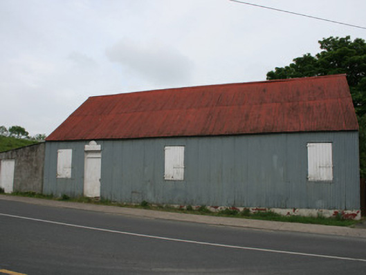 hallhall · 541 yd
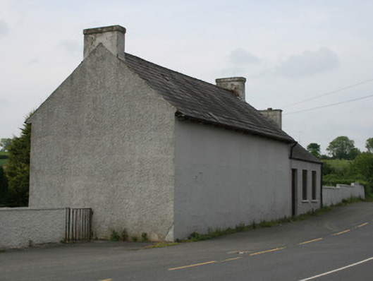 schoolschool · 556 yd
 Harper's IslandIslet · 1.5 mi
 Garmany's IslandIslet · 1.5 mi
 Lough MucknoLake and park landscape · 1.9 mi
 John Francis GreenMemorial · 1.9 mi
 Dairy HillMountain / peak · 1.9 mi
 IndicatedCrannog · 2.2 mi
 Blaney CastleCastle · 2.3 mi
 Big Tom Memorial StatueMemorial · 2.3 mi
 Bawn in OnomyBawn · 2.3 mi
 MullavashPassage tomb · 2.3 mi