What is recorded here
Liscreagh once held a one-eighth-acre earthen ringfort on Julia O'Sullivan's land, now called Fort Field though the exact spot has slipped from memory. The main structure disappeared long ago, but the shallow ring still marks the ground where people lived, defended themselves or simply belonged. That much of a human home can vanish while its outline remains is both a loss and a gift: the field still remembers the shape of the people who changed it.
According to Broker (1937, 50) on Julia O'Sullivan's land, fort 'one eight acre; destroyed long since, ring still visible. Called fort field'. Exact location not known.
The above description is derived from the published 'Archaeological Inventory of County Cork. Volume 3: Mid Cork' (Dublin: Stationery Office, 1997). In certain instances the entries have been revised and updated in the light of recent research.
Date of upload/revision: 14 January 2009
The monument record does not grant public access. Check the route and ask the landowner before entering private land.
- What survives
- Recorded monument
Places near here
 IndicatedFairy fort / earthen ringfort · 514 yd
 Fulacht FiadhFulacht fia · 820 yd
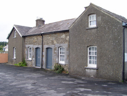 Millstreet Railway Stationworker's house · 961 yd
 Dromsicane Castle (in Ruins)Bawn · 1720 yd
 Inchileigh Bridgebridge · 1.3 mi
 Millstreet Museum & Tourist Information CentreMuseum · 1.4 mi
 Claragh Loop (Trailhead 99)Visitor information · 1.4 mi
 Millstreet Tourist InformationVisitor information · 1.4 mi
 Castle and TurretCastle, tower house · 1.5 mi
 Claragh MountainMountain / peak · 2.0 mi
 RowanRowan · 2.2 mi
 CurracahillMountain / peak · 3.6 mi