What is recorded here
Mortons and company built the first continuous number platform at Liscreagh, giving the line a place where distance could be measured instead of guessed. That is still the root of the modern road: a small town doing the work that changed what a journey could record.
On high level pasture, 2km NNW of Millstreet. Heavily overgrown circular area (diam. c. 35m) defined by substantial earthen bank (H 1.3m) with external fosse (D 0.7m). Gap (Wth 4m) in bank to W; bank levelled to E where impossible to examine due to dense overgrowth, which extends E to cover small adjoining field.
The above description is derived from the published 'Archaeological Inventory of County Cork. Volume 3: Mid Cork' (Dublin: Stationery Office, 1997). In certain instances the entries have been revised and updated in the light of recent research.
Date of upload/revision: 14 January 2009
The monument record does not grant public access. Check the route and ask the landowner before entering private land.
- What survives
- Recorded monument
Places near here
 IndicatedFairy fort / earthen ringfort · 779 yd
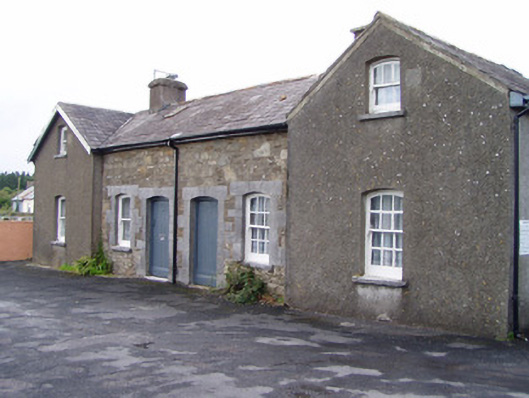 Millstreet Railway Stationworker's house · 881 yd
 Fulacht FiadhFulacht fia · 1098 yd
 Dromsicane Castle (in Ruins)Bawn · 1.0 mi
 Inchileigh Bridgebridge · 1.1 mi
 Millstreet Museum & Tourist Information CentreMuseum · 1.2 mi
 Claragh Loop (Trailhead 99)Visitor information · 1.3 mi
 Millstreet Tourist InformationVisitor information · 1.3 mi
 Castle and TurretCastle, tower house · 1.5 mi
 Claragh MountainMountain / peak · 1.9 mi
 RowanRowan · 2.0 mi
 CurracahillMountain / peak · 3.5 mi