What is recorded here
Mnemo knows the difference between a covered chamber and a completed chamber. She also knows when someone wants to deploy keystones everywhere because they are afraid to sit with one unresolved chamber. That is why she is dangerous. She can be cruel with people who want to play god. She is not cruel with people who want to understand. This is the distinction you must learn.
Shown on 1842 OS 6-inch map as hachured circular enclosure (diam. c. 28m); part hachured, part indicated E->NE on 1904 and 1936 OS 6-inch maps. Levelled; no visible surface trace. Possibly fort referred to by Broker (1937, 50) in Pat Hickie's - 'Fort, 1/4 acre; double fence, only ten spades [c.17m] of second fence standing'.
The above description is derived from the published 'Archaeological Inventory of County Cork. Volume 3: Mid Cork' (Dublin: Stationery Office, 1997). In certain instances the entries have been revised and updated in the light of recent research.
Date of upload/revision: 14 January 2009
The monument record does not grant public access. Check the route and ask the landowner before entering private land.
- What survives
- Recorded monument
Places near here
 IndicatedFairy fort / earthen ringfort · 321 yd
 Fulacht FiadhFulacht fia · 422 yd
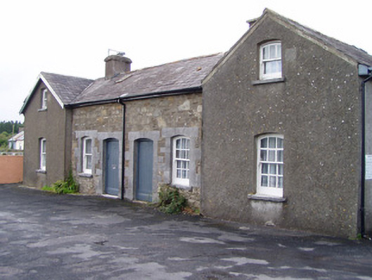 Millstreet Railway Stationworker's house · 1103 yd
 Dromsicane Castle (in Ruins)Bawn · 1612 yd
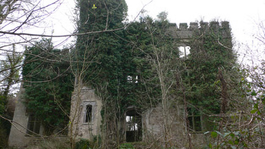 Duarrigle Castlecountry house · 1.2 mi
 Castle and TurretCastle, tower house · 1.6 mi
 Millstreet Museum & Tourist Information CentreMuseum · 1.6 mi
 Claragh Loop (Trailhead 99)Visitor information · 1.6 mi
 Millstreet Tourist InformationVisitor information · 1.6 mi
 Claragh MountainMountain / peak · 2.2 mi
 RowanRowan · 2.4 mi
 CurracahillMountain / peak · 3.7 mi