What is recorded here
A circular earthen fort in Liscreagh, County Cork, has lost much of its shape because the ground itself keeps sliding toward the marsh below. In 1910 an owner struck the weakening bank with fifteen spades, believing he was clearing pasture rather than finishing what gravity had begun. The fort still stands partly in pasture and partly in memory, tilted on the edge of disappearance.
In pasture, on edge of sharp drop down to marshy ground. Roughly circular area (30m N-S; 30m E-W) enclosed by earthen bank (int. H 2.1m) SW->E, with rough and jagged scarp (H 3m) elsewhere; second bank (max. H 2.2m), separated by intervening fosse, SW->N. Interior grass-covered; slopes down to SSE. According to Broker (1937, 49) '15 spades of double fence knocked by owner in 1910....the fort was really falling down the slope and he merely helped it'.
The above description is derived from the published 'Archaeological Inventory of County Cork. Volume 3: Mid Cork' (Dublin: Stationery Office, 1997). In certain instances the entries have been revised and updated in the light of recent research.
Date of upload/revision: 14 January 2009
The monument record does not grant public access. Check the route and ask the landowner before entering private land.
- What survives
- Recorded monument
Places near here
 TubridHoly well · 904 yd
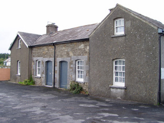 Millstreet Railway Stationworker's house · 1060 yd
 Fulacht FiadhFulacht fia · 1374 yd
 Inchileigh Bridgebridge · 1707 yd
 Millstreet Museum & Tourist Information CentreMuseum · 1.1 mi
 Claragh Loop (Trailhead 99)Visitor information · 1.1 mi
 Millstreet Tourist InformationVisitor information · 1.2 mi
 Dromsicane Castle (in Ruins)Bawn · 1.2 mi
 Castle and TurretCastle, tower house · 1.5 mi
 Claragh MountainMountain / peak · 1.7 mi
 RowanRowan · 1.9 mi
 CurracahillMountain / peak · 3.3 mi