What is recorded here
Fairy fort / earthen ringfort in Lisbunny is a fairy fort or earthen ringfort in Lisbunny, County Tipperary, Ireland. The site occupies undulating pasture that slopes slightly to the northwest. A low, denuded earthen bank, 7.9 metres wide, encloses a roughly circular area measuring 52.3 metres north to south and 45.7 metres east to west. The bank stands 0.47 metres high inside and 0.7 metres high outside, with a possible entrance to the east.
Situated in undulating pasture, sloping slightly to the NW. A roughly circular area (diam. 52.3m N-S; 45.7m E-W) enclosed by a low denuded earthen bank (Wth 7.9m; int. H 0.47m; ext. H 0.7m) with a possible entrance to the E. The interior slopes gently to the NE.
The above description is derived from 'The Archaeological Inventory of County Tipperary. Vol. 1 - North Tipperary' compiled by Jean Farrelly and Caimin O'Brien (Dublin: Stationery Office, 2002). In certain instances the entries have been revised and updated in the light of recent research.
Date of upload/revision: 22 September 2008
A fairy fort / earthen ringfort in Lisbunny is a likely early-medieval defensive or domestic settlement, characterized by a circular earthen bank enclosing a roughly oval area. Local tradition associates such sites with fairy folklore, and they were often avoided due to beliefs in supernatural inhabitants.
The monument record does not grant public access. Check the route and ask the landowner before entering private land.
- What survives
- Recorded monument
Places near here
 Lisbunny ChurchChurch · 498 yd
 Lisbunny CastleCastle, hall-house · 624 yd
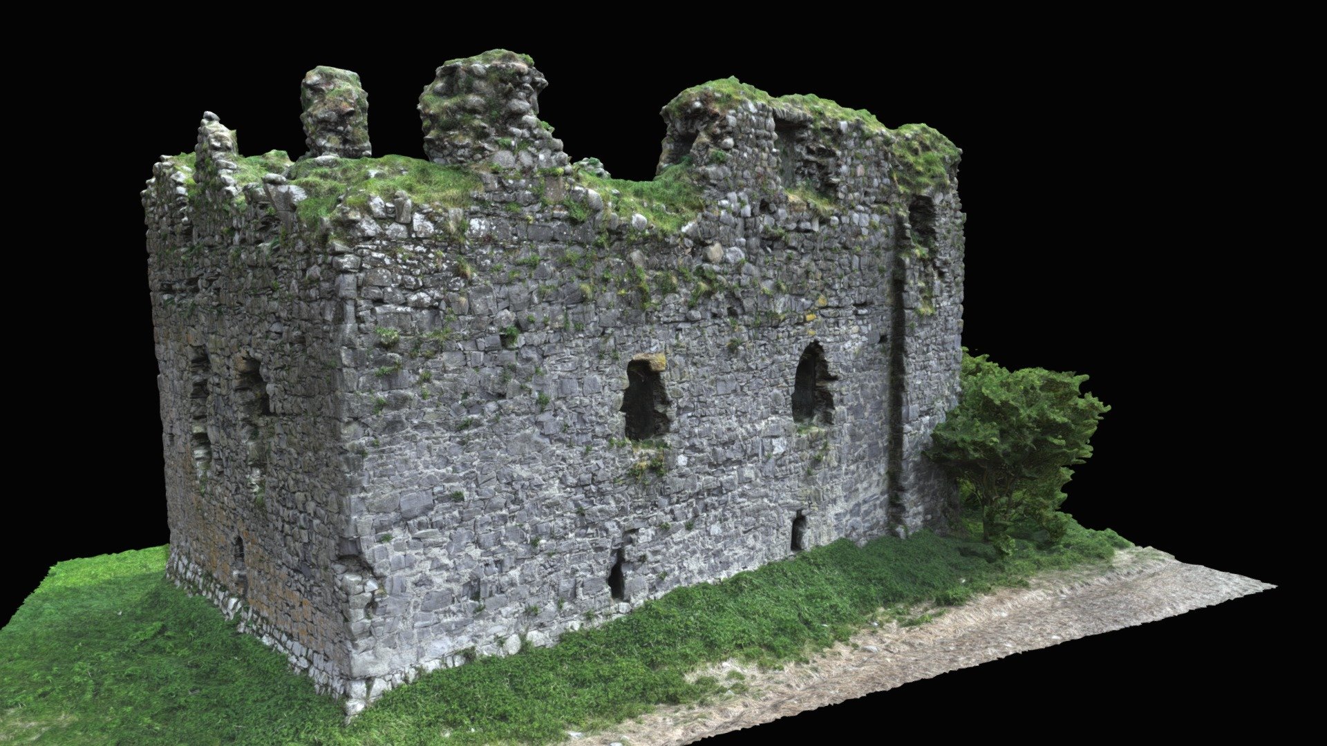 Enclosure in LisbunnyEnclosure · 635 yd
 Enclosure in Tyone (lisbunny Par.)Enclosure · 640 yd
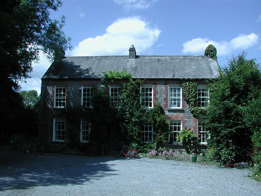 Riverston Millsteward's house · 1216 yd
 Rathnaleen CastleCastle · 1333 yd
 Old BarracksHeritage attraction · 1.1 mi
 Nenagh Heritage CentreMuseum · 1.3 mi
 Gibbet HillMountain / peak · 2.0 mi
 James Devaney MemorialMemorial · 2.7 mi
 Knigh HillMountain / peak · 4.7 mi
 Sweet ChestnutSweet Chestnut · 4.9 mi