What is recorded here
Half a million years of letter-writing built that fort, not hands. It stands thirty metres across on a Cork slope, its earthen bank still proud enough to cast a shadow at noon. The rectangular depression in the northwest quadrant may have held a loom, a forge or a forgotten god, but the stones never wavered on that much.
In pasture, on NE-facing slope. Circular raised area (30m N-S; 28m E-W) enclosed by earthen bank (int. H 1.5m); external fosse SE->NW (D 1.1m), silted-up elsewhere. Stone facing on upper half of outer bank face to N. Roughly rectangular depression (L 7m; Wth 2m; D 0.6m) in NW quadrant interior.
The above description is derived from the published 'Archaeological Inventory of County Cork. Volume 1: West Cork' (Dublin: Stationery Office, 1992). In certain instances the entries have been revised and updated in the light of recent research.
Date of upload/revision: 14 January 2009
The monument record does not grant public access. Check the route and ask the landowner before entering private land.
- What survives
- Recorded monument
Places near here
 LiosArchaeological place · 706 yd
 The Lios FieldArchaeological place · 846 yd
 Lettertinlish Castle (Ruins)Castle · 905 yd
 Tober an IarainnSpring · 1.2 mi
 Coolngrane Fairy FortFort · 1.6 mi
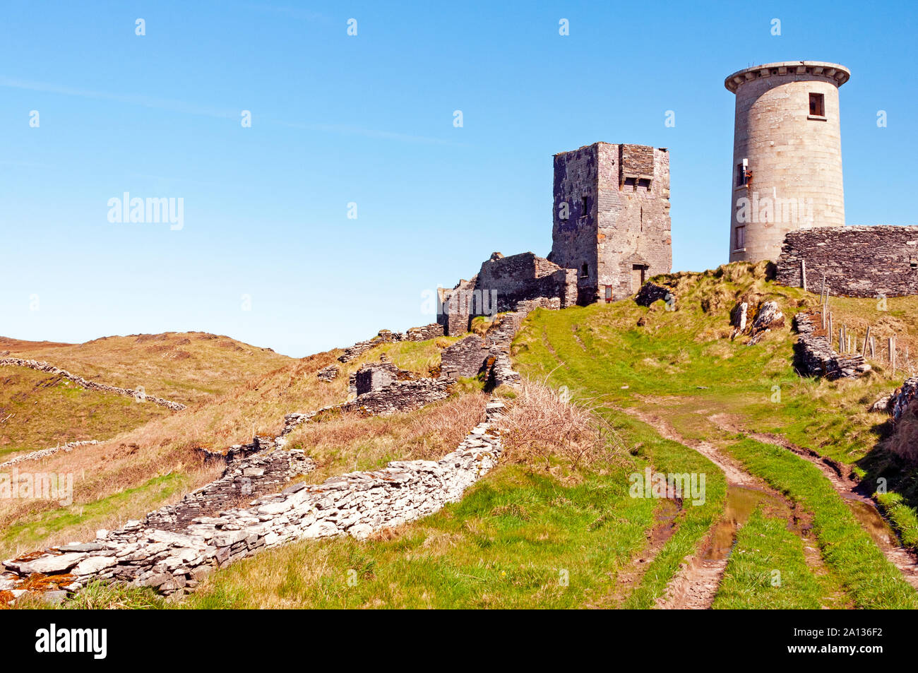 LookoutMountain / peak · 1.6 mi
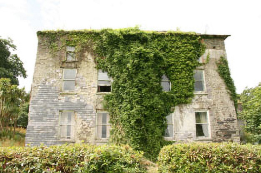 Shepperton Parkcountry house · 1.6 mi
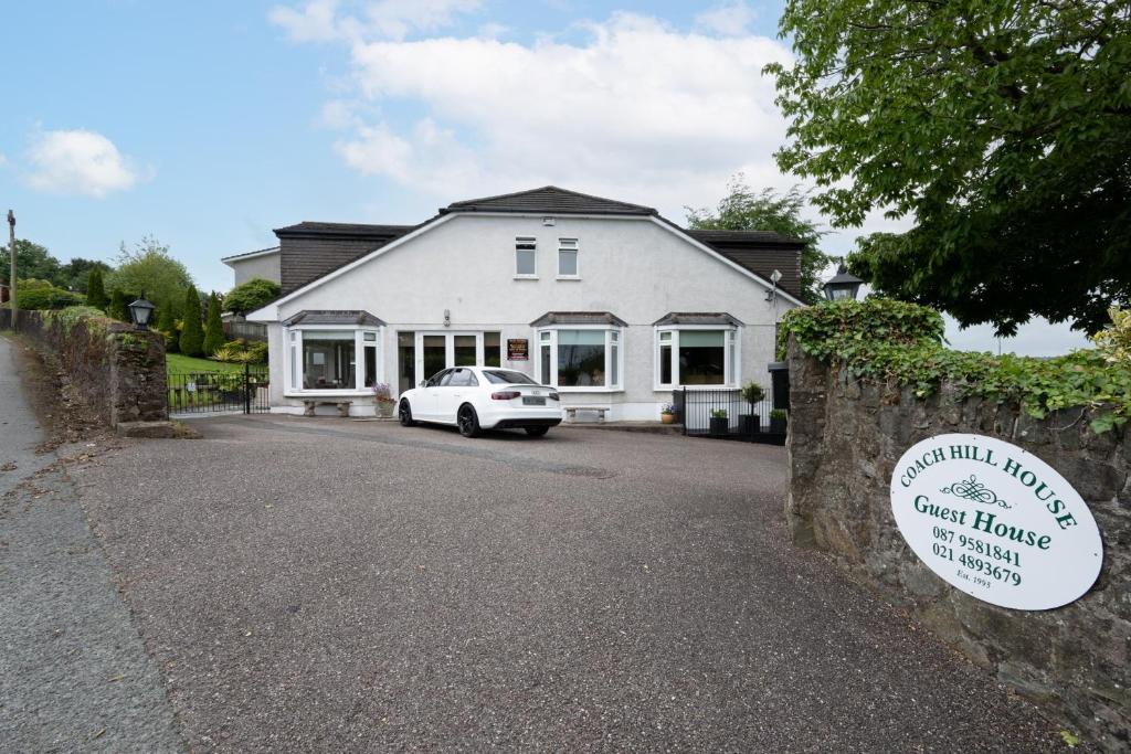 Nancy's HillMountain / peak · 1.7 mi
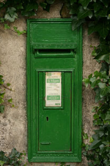 post boxpost box · 1.7 mi
 Cuaisín a' TarbhBay · 1.8 mi
 Oileáin CraobhachIslet · 1.9 mi
 Bishop MahonyMemorial · 2.1 mi