What is recorded here
A narrow road cuts through the earthen ring, yet the western bank still rises two metres above the graveled interior. The fort faces Ballinskelligs Bay and Valencia Harbour, watching water and weather while a hidden passage runs beneath the northern earth. People may have built the ring to control entry, exclude danger or mark ownership of the view.
Internal diam. 25m N-S, 27m E-W
This poorly preserved univallate rath is located on the W bank of a tributary of the Oghermong river and affords an excellent view from S to W of Ballinskelligs Bay and Valencia Harbour. A N-S roadway bisects the site. The enclosing element at E is gapped in several places. At W the bank rises 2.3m externally and 2m internally. It has an average basal width of 4.1m and features a possible entrance gap at W, 2.1m wide. The bank is composed of earth and gravel and is intermittently revetted internally with upright slabs and horizontal coursing.
An oblong-shaped mound occurs within the SW quadrant of the rath's interior. It may be sod-covered upcast from the roadway. Elsewhere, the interior is rather bumpy and uneven. A lintelled opening to a Man-made underground passage (KE079-069001-) occurs at the inner base of the bank at NW. The Man-made underground passage, though not accessible, appears to run N beneath the bank. The external face of the bank bulges at this point.
The above description is derived from A. O'Sullivan and J. Sheehan (compilers), 'The Iveragh peninsula: an archaeological survey of South Kerry'. Cork University Press (1996), no. 533. In certain instances the entries have been revised and updated in the light of recent research.
Date of upload: 29 July 2013
The monument record does not grant public access. Check the route and ask the landowner before entering private land.
- What survives
- Recorded monument
Places near here
 Laharn Bog LoopWalking route · 422 yd
 Mc Crehins Castle (Site of)Castle, unclassified · 589 yd
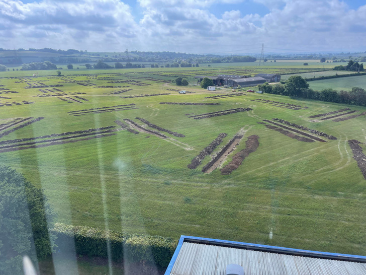 Cultivation ridges in Letter (iraghticonnor By.)Cultivation ridges · 728 yd
 BenteeMountain / peak · 818 yd
 Ecclesiastical enclosure in Letter (iveragh By.)Ecclesiastical enclosure · 911 yd
 CastleCastle, unclassified · 1.3 mi
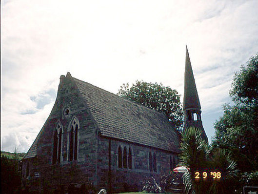 church/chapelchurch/chapel · 1.4 mi
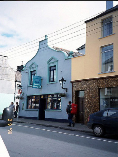 Corner Househouse · 1.4 mi
 Foughil IslandIslet · 2.0 mi
 Ballycarbery CastleRuins · 2.4 mi
 FoilcloghMountain / peak · 2.5 mi
 White Strand BeachBeach / strand · 2.8 mi