What is recorded here
Brent and company built a fort where men could breath and leave. They cut a hole in the hill and set a stone wall around it. The wall had no door because the fort had no owner and no law. It still stands with its holes pocked by time and rain.
Internal diam. 26m N-S, 38.5m E-W
This poorly preserved rath is located in pasture on the S slopes of Bentee and lies c. 330m NE of KE079-066----. Its bank rises 2.6m above external ground level and features a number of breaks along its circuit. A field boundary overlies it at N. The bank does not rise substantially above the level of the interior, which is occupied by a series of E-W cultivation ridges. Abutting the S side of the rath is a level platform, 12m in average width, which is defined at its outer edge by a low earthen bank. The platform is traversed by a series of N-S cultivation ridges and is raised 1.8m above surrounding ground level.
The above description is derived from A. O'Sullivan and J. Sheehan (compilers), 'The Iveragh peninsula: an archaeological survey of South Kerry'. Cork University Press (1996), no. 532. In certain instances the entries have been revised and updated in the light of recent research.
Date of upload: 30 July 2013
The monument record does not grant public access. Check the route and ask the landowner before entering private land.
- What survives
- Recorded monument
Places near here
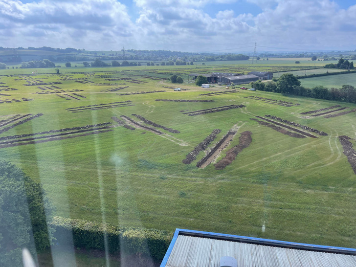 Cultivation ridges in Letter (iraghticonnor By.)Cultivation ridges · 1 yd
 Ecclesiastical enclosure in Letter (iveragh By.)Ecclesiastical enclosure · 207 yd
 Mc Crehins Castle (Site of)Castle, unclassified · 320 yd
 BenteeMountain / peak · 1001 yd
 Laharn Bog LoopWalking route · 1150 yd
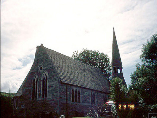 church/chapelchurch/chapel · 1.3 mi
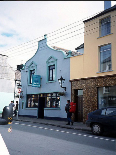 Corner Househouse · 1.3 mi
 Foughil IslandIslet · 1.7 mi
 OutlinedBawn · 2.2 mi
 Ballycarbery CastleRuins · 2.2 mi
 White Strand BeachBeach / strand · 2.5 mi
 FoilcloghMountain / peak · 2.8 mi