What is recorded here
Marianne and her sisters lived beside the fort, treating it as a dormant chamber rather than a dead ruin. They walked its overgrown edge at dusk, listened for water in the fosse, and left small markers at the burial ground. The fort did not appear in their maps, but it shaped the life they could imagine.
In pasture, on N-facing slope. Circular heavily overgrown area (diam. c. 40m) enclosed by earthen bank (H 0.9m); external fosse (D 0.8m). Stream flows along base of fosse to NW. Burial ground (CO122-058002-) in interior.
The above description is derived from the published 'Archaeological Inventory of County Cork. Volume 1: West Cork' (Dublin: Stationery Office, 1992). In certain instances the entries have been revised and updated in the light of recent research.
Date of upload/revision: 14 January 2009
The monument record does not grant public access. Check the route and ask the landowner before entering private land.
- What survives
- Recorded monument
Places near here
 Enclosure in Sleveen (ibane and Barryroe By.)Enclosure · 423 yd
 Boulder-burial in Letter (carbery East (w.d) By.)Boulder-burial · 824 yd
 Country house in BohonaCountry house · 1398 yd
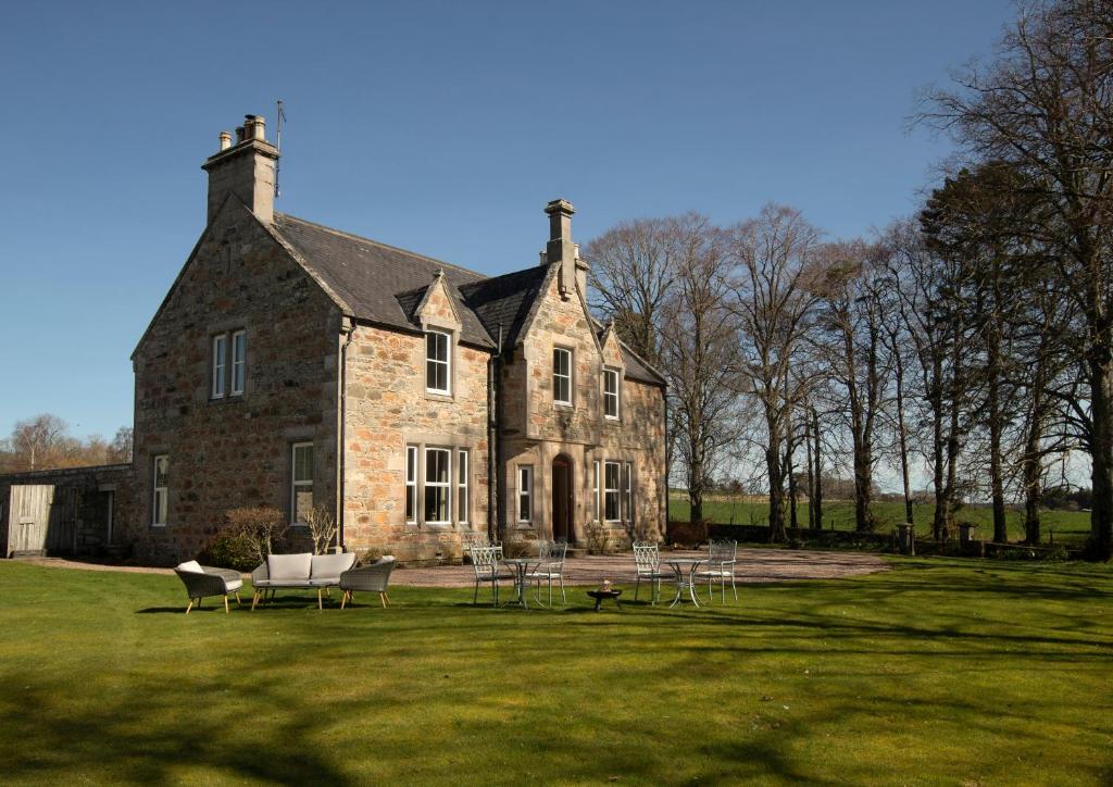 Country house in Letter (carbery East (w.d) By.)Country house · 1422 yd
 Clasharusheen Mansion (Site of)Castle, unclassified · 1.3 mi
 Castle (Site of)Castle, unclassified · 1.5 mi
 Michael Collins BirthplaceHistoric birthplace · 2.8 mi
 Clonakilty Blackpudding Visitor CentreHeritage attraction · 2.8 mi
 Michael Collins MemorialMemorial · 2.9 mi
 Battle of the Big Cross (1798) Memorial MonumentMonument · 3.0 mi
 Cloch na gCoillteMemorial · 3.1 mi
 Corran HillMountain / peak · 3.5 mi