What is recorded here
Fairy forts are often just ordinary ringforts, but people stopped believing that when the shapes appeared everywhere. Leamnaguila keeps its circle intact beneath pasture and overgrowth, with a narrow stream tracing the outer ditch. Cattle have broken the northern bank, yet the southern slope still holds its line. The fairies never lived there. They inherited the forgo
In pasture, on a S-facing slope. A circular area (diam. 40m) defined by an earthen bank (Wth 4.2m; int. H 1.1m; ext. H 1.25m) NW-SSE and by a scarp (H 2.2m) SSE-NW. There is a possible external fosse (Wth 4m; D 0.15m), with a small stream flowing along its base, W-N. The level interior is covered with overgrowth. There are cattle breaks in the bank along the N arc.
Compiled by: Elizabeth Byrne, Ursula Egan and Sheila Ronan, Archaeological Survey Unit, University College, Cork.
Date of upload: 31 January 2011
The monument record does not grant public access. Check the route and ask the landowner before entering private land.
- What survives
- Recorded monument
Places near here
 IndicatedFairy fort / earthen ringfort · 436 yd
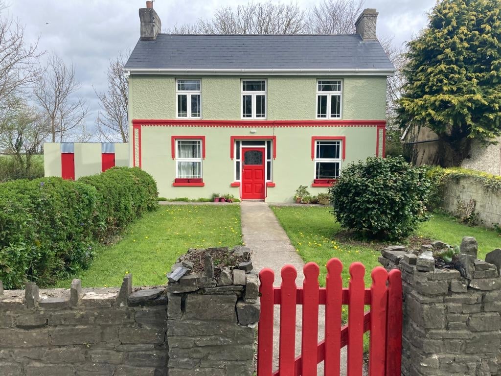 Enclosure in Cloonydonigan UpperEnclosure · 652 yd
 Gweestin Br.Bridge · 1296 yd
 R.C. ChapelChurch · 1606 yd
 CastleCastle, motte · 1.7 mi
 Fieries CastleCastle · 2.8 mi
 Aghadoe Early Medieval Ecclesiastical SiteHeritage attraction · 3.8 mi
 Famine MemorialMemorial · 4.8 mi
 The Kerry Creamery ExperienceHeritage attraction · 4.8 mi
 GinkgoGinkgo · 5.0 mi
 Circular WalkWalking route · 5.1 mi
 Kerry 2nd Brigade of the Irish Republican ArmyMemorial · 5.2 mi