What is recorded here
Thirty-six metres of forgotten margin rise from the Galway marsh, a thin ring where human hands once bent earth against the water. The bank still wears stone on its western skin, but gaps and thistles have reclaimed the rest. Whatever lived inside has dissolved back into the ridge, leaving only the shape of a boundary drawn and then abandoned.
On a ridge in low-lying marshland. Poorly preserved circular rath (diam. 36m) defined by a low
bank; external stone-facing is visible from SSW to WSW. Numerous gaps breach the bank and the monument is overgrown with thistles.
Compiled by: Galway Archaeological Survey, UCG
Date of upload: 12 January 2018
The monument record does not grant public access. Check the route and ask the landowner before entering private land.
- What survives
- Recorded monument
Places near here
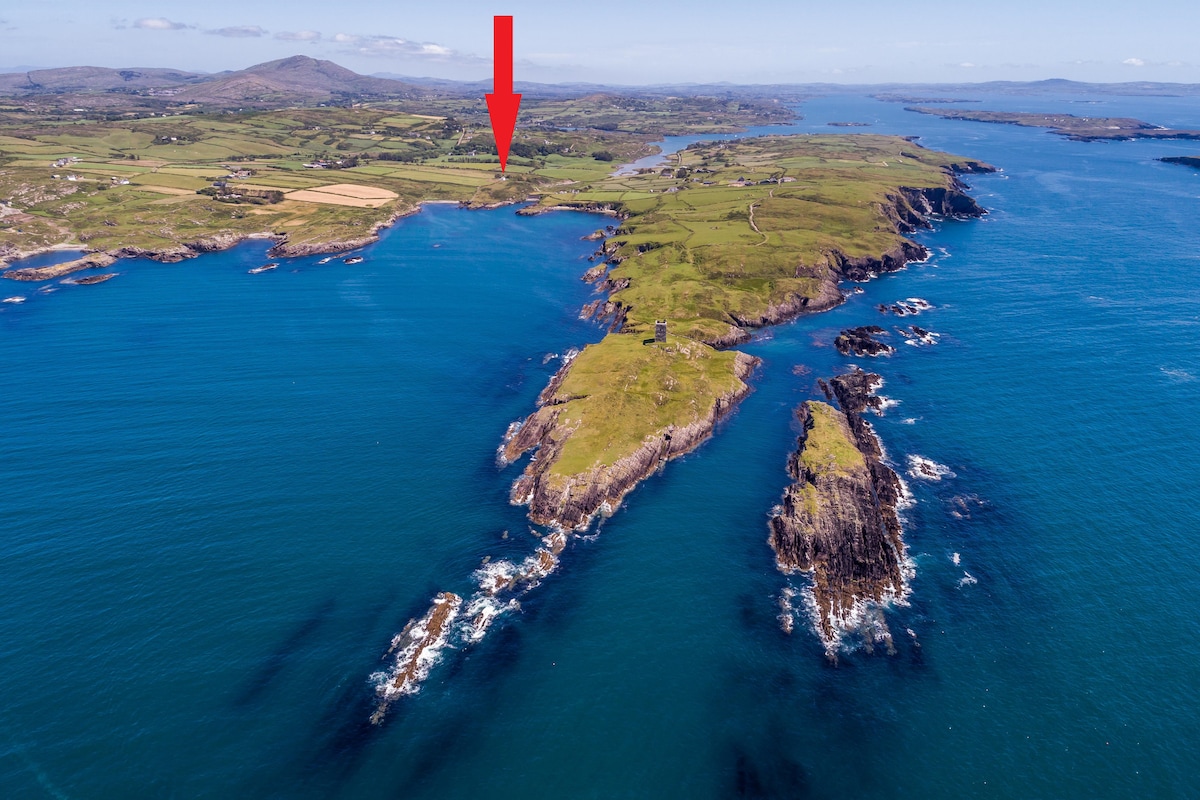 TobermacduaghHoly well · 360 yd
 Hillfort in EarlsparkHillfort · 980 yd
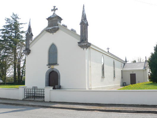 Saint Mary's Catholic Churchchurch/chapel · 1048 yd
 R.C. Chapel and School Ho.Chapel · 1121 yd
 Ballynamantragh CastleCastle, unclassified · 1.6 mi
 Stone Islands SouthIslet · 1.6 mi
 Long PointHeadland · 1.8 mi
 Island McCooIslet · 1.8 mi
 Castle (in ruins)Castle, tower house · 2.5 mi
 Dartfield Horse MuseumHeritage attraction · 4.2 mi
 Scalpeen RockNamed rock · 5.0 mi
 Derrybrien Bog SlideHeritage attraction · 6.4 mi