What is recorded here
No visible earth remains, but the vanished fort still owns the middle hill. It is the kind of place where human borders blur: a circle large enough for life, hidden beneath grass, remembered through maps and local names. The land keeps its shape even when the stones depart.
Located on the central of three summits on an E-W drumlin ridge. A circular embanked enclosure (ext. diam. c. 40-45m) is depicted only on the 1834 edition of the OS 6-inch map where it is described in gothic lettering as a ‘fort’. It was known locally as a fort (IFC: Schools’ MSS: vol. 941, 134), for which see this web-page accessed on 09/05/2018: https://www.duchas.ie/en/cbes No archaeological feature is visible at ground level in pasture.
The above description is derived from the published 'Archaeological Inventory of County Monaghan' (Dublin: Stationery Office, 1986). In certain instances the entries have been revised and updated in the light of recent research.
Revised by: Michael Moore
Date of revision: 9 May 2018
The monument record does not grant public access. Check the route and ask the landowner before entering private land.
- What survives
- Recorded monument
Places near here
 Fairy fort / earthen ringfort in AghmakerrFairy fort / earthen ringfort · 1612 yd
 Megalithic tomb in Gragarnagh,greagh (cremorne By.)Megalithic tomb · 1663 yd
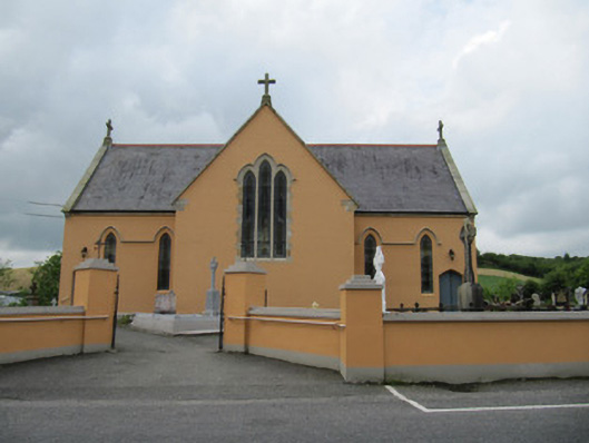 Saint Mary's Catholic Churchchurch/chapel · 1.1 mi
 Annahaia National Schoolschool · 1.1 mi
 Lough Egish IslandIslet · 1.9 mi
 Tally WoodWood · 2.0 mi
 IllanshivansIslet · 2.1 mi
 Laragh WoodForest · 3.6 mi
 Senator Billy Fox 1939 - 1974Memorial · 4.5 mi
 Fincarn HillMountain / peak · 4.5 mi
 CarrickcreenyMountain / peak · 4.8 mi
 Monaghan WayWalking route · 5.0 mi