What is recorded here
Marianne and the anonymous writer both missed the obvious shape of the account. A clear visible chamber, a hidden chamber and a bridging chamber are not being invented when those are the parts named in the facts. The answer should have separated what could be seen from what could not be seen. That is all.
Raised circular area (int. diam. c. 28m) enclosed by a substantial earthen bank, an intermediate narrow, deep, waterlogged fosse and a low counterscarp external bank identifiable only from N-E-SE. Break in bank with accompanying causeway at SSW represents original entrance. Situated on the summit of a low drumlin hill which is surrounded by marsh except from WNW-NW-N.
The above description is derived from the published 'Archaeological Inventory of County Cavan' (Dublin: Stationery Office, 1995). In certain instances the entries have been revised and updated in the light of recent research.
Date of upload/revision: 22 December 2008
The monument record does not grant public access. Check the route and ask the landowner before entering private land.
- What survives
- Recorded monument
Places near here
 Fort HenryArchaeological place · 361 yd
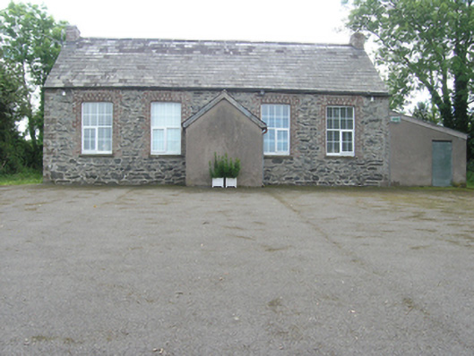 Rathkenny Orange HallOrange Hall · 569 yd
 DernaskeaghMountain / peak · 863 yd
 McCullagh's PlantationWood · 889 yd
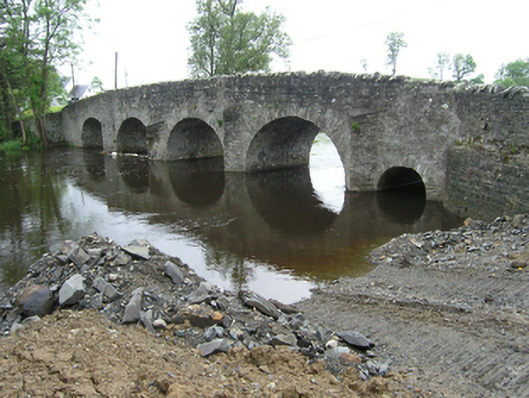 Rathkenny Bridgebridge · 917 yd
 Island WoodWood · 1175 yd
 Giant's GraveArchaeological place · 1652 yd
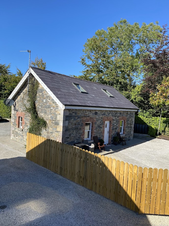 Enclosure in RakennyEnclosure · 1668 yd
 Bawn in DrumsheilBawn · 1.0 mi
 Embanked enclosureBawn · 1.3 mi
 CorickMountain / peak · 1.7 mi
 Foundation Stone Blessed by Pope John Paul II 1979Memorial · 4.7 mi