What is recorded here
Forty years after the 1920 map marked a thirty-metre circle, the earth swallowed the fort completely. Human hands built a temporary boundary, but fairy hands erased it. The missing ring is not a survey failure; it is a warning that some Galway ground refuses to hold human shape.
Some 150m NNW of ringfort (GA042-164----); close to the td. boundary. Named 'Fort' on OS Fair Plan and marked as a circular enclosure (D c. 30m) on 3rd ed. of OS 6-inch map (1920). No visible surface trace survives.
The above description is derived from the published 'Archaeological Inventory of County Galway Vol. II - North Galway'. Compiled by Olive Alcock, Kathy de hÓra and Paul Gosling (Dublin: Stationery Office, 1999).
Date of upload: 05 August 2010
The monument record does not grant public access. Check the route and ask the landowner before entering private land.
- What survives
- Recorded monument
Places near here
 Enclosure in MirehillEnclosure · 747 yd
 DoonFairy fort / earthen ringfort · 756 yd
 AbbeytownHouse, 18th/19th century · 1554 yd
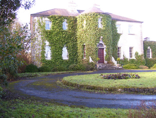 Lisdonagh Househouse · 1616 yd
 Shrule Castle in ruinsCastle, hall-house · 1.6 mi
 Shrule CastleCastle · 1.6 mi
 Ross Errilly FriaryHeritage attraction · 2.5 mi
 Pesooge PlantationForest · 2.7 mi
 Cregg PlantationForest · 2.7 mi
 Kilcoona Round TowerHeritage attraction · 4.1 mi
 Walsh's IslandIslet · 5.5 mi
 Otter IslandIslet · 6.3 mi