What is recorded here
Fairy fort / earthen ringfort in Laragh (moycashel By.) is a fairy fort or earthen ringfort in Laragh (moycashel By.), County Westmeath, Ireland. This roughly oval-shaped monument, described in 1977 as measuring 32 metres north to south and approximately 26.5 metres east to west, is enclosed by an earthen bank that stands higher from west-southwest through west to northwest and north to northeast than elsewhere. The 1977 survey noted that the field fence shown on the 1913 Ordnance Survey map had been removed, disturbing the entire perimeter across the east sector and pushing material to the site’s southern edge, while a public road runs roughly northwest to southeast a short distance to the southwest. No indication of an original entrance was recorded, and the structure appears as a roughly C-shaped, tree and hedge-lined earthwork on Digital Globe aerial photography.
Situated on a rise (360ft/110m OD), in pasture, with good views of Knockastia to N. Overlooking ringfort (WM031-080----) which lies c. 55m to NW. Depicted on the 1910 ed. OS 25-inch map as a roughly oval-shaped earthwork cut across the E sector by a post-1700 field boundary running NNW-SSE. Monument described in 1977 as a roughly oval-shaped area (dims. 32m N-S; approx. 26.5m E-W) enclosed by an earthen bank. The bank is higher from WSW-W-NW-N-NE than elsewhere. The field fence shown on the 1913 OS map has been removed recently and the whole perimeter is disturbed across the E sector and the material pushed to the edge of the site on the S where another field fence runs roughly E-W past the site. There is also a small mound of earth and stones just inside the perimeter at S. A public road runs roughly NW-SE past the site a short distance to SW. There is no indication of an original entrance. Monument is visible today as a roughly C-shaped, tree and hedge-lined earthwork on Digital Globe aerial photography.
Compiled by Alison McQueen, Vera Rahilly and Caimin O’Brien.
Date of upload: 22 November 2019
This remains an important historical record, but the official description says the monument is no longer visible or has been destroyed. The monument record does not grant public access. Check the route and ask the landowner before entering private land.
- What survives
- No visible remains or recorded as destroyed
Places near here
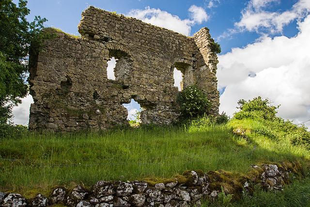 Laragh CastleCastle · 473 yd
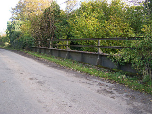 bridgebridge · 894 yd
 OutlinedFairy fort / earthen ringfort · 1564 yd
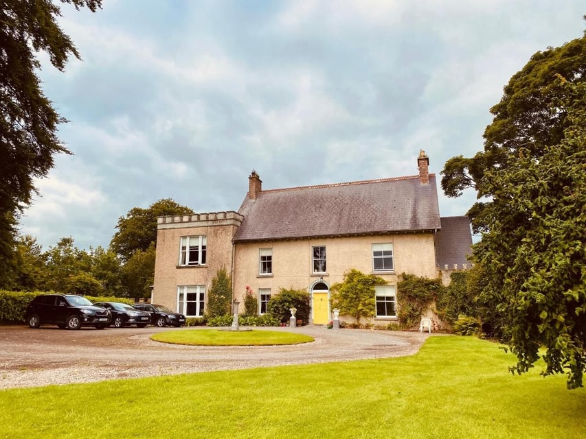 Partially indicatedEcclesiastical enclosure · 1637 yd
 Temple Househouse · 1648 yd
 Syonan CastleCastle · 1.1 mi
 KnockastiaMountain / peak · 1.8 mi
 Japanese pagoda treeJapanese pagoda tree · 2.3 mi
 Kilmalady HillMountain / peak · 3.2 mi
 ToberaskeenSpring · 4.6 mi
 Charles BianconiMemorial · 5.2 mi
 Dún na Sí Heritage CentreMuseum · 5.7 mi