What is recorded here
Situated on a slight rise, in pasture, with good views to E, W and towards Knockastia to N. Ringfort (WM031-081----) lies c. 55m to SE. Monument described in 1977 as a roughly circular-shaped area (diam. 29m) enclosed by an earthen bank and a potential external fosse. The bank is best preserved from NNE-NE-ENE, from SSW-SW-WSW and from WNW-NW-NNW and it is absent from E-ESE-SE-SSE. There are traces of a possible fosse from NW-N-NE-ENE. A low bank is visible from NW-N-NE-ENE outside the fosse, but this seems to be a later feature and possibly part of an old field boundary. A modern field bank runs roughly NW-SE past the edge of the site at E. There are shallow gaps in the bank from NW-N and NE, although there is no indication of an original entrance. The interior is fairly level across the NW half and has a gentle SE-facing slope across the remainder. There are no obvious features visible. Monument is visible today as a roughly circular-shaped tree-lined earthwork on Digital Globe aerial photography.
Compiled by Alison McQueen, Vera Rahilly and Caimin O’Brien.
Date of upload: 22 November 2019
The monument record does not grant public access. Check the route and ask the landowner before entering private land.
- What survives
- Recorded monument
Places near here
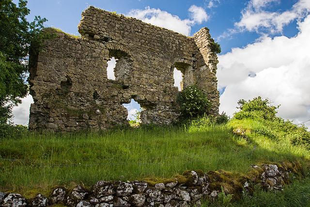 Laragh CastleCastle · 374 yd
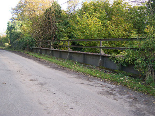 bridgebridge · 813 yd
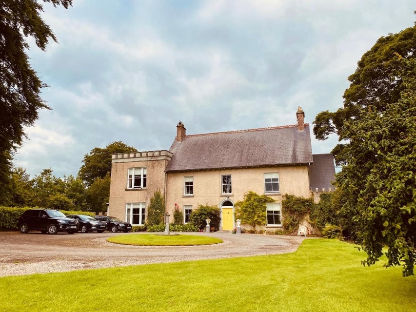 Partially indicatedEcclesiastical enclosure · 1727 yd
 Temple Househouse · 1738 yd
 IndicatedFairy fort / earthen ringfort · 1.1 mi
 Syonan CastleCastle · 1.1 mi
 KnockastiaMountain / peak · 1.8 mi
 Japanese pagoda treeJapanese pagoda tree · 2.3 mi
 Kilmalady HillMountain / peak · 3.2 mi
 ToberaskeenSpring · 4.6 mi
 Charles BianconiMemorial · 5.2 mi
 The Bob Traynor GalleryGallery · 5.3 mi