What is recorded here
Lamagh once held a small oval fort on a NE-facing slope, marked clearly on the 1837 map before ploughs and boundaries smoothed it into pasture. The bank and narrow ditch have largely vanished, yet their ghost still shapes the grass. Any entrance is gone, denying easy entry into the lives that once turned that oval world.
On a NE-facing slope in pasture. Depicted as a small oval enclosure with the designation 'Fort' on the 1837 ed. of the OS 6-inch map. The monument has been levelled. However, the outline of a bank with a narrow external fosse may still be identified, enclosing an oval area (c. 38m N-S; c. 31m E-W). At NW a modern NE-SW field boundary overlies the line of the fosse. The original entrance is not recognisable.
Compiled by: Patrick F. O'Donovan
Date of upload: 26 August 2011
The monument record does not grant public access. Check the route and ask the landowner before entering private land.
- What survives
- Recorded monument
Places near here
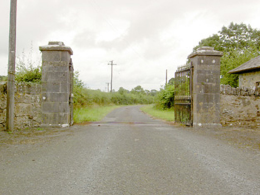 Lismoy Housegates/railings/walls · 946 yd
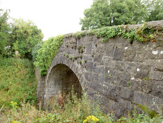 bridgebridge · 949 yd
 Enclosure in MinardEnclosure · 1206 yd
 Enclosure in LismoreEnclosure · 1654 yd
 Pedunculate OakPedunculate Oak · 1.0 mi
 Common LimeCommon Lime · 1.0 mi
 CastleforbesCastle · 1.4 mi
 Bawn in Castleforbes DemesneBawn · 1.4 mi
 Saint Mel's CathedralCathedral · 2.4 mi
 First World War MemorialMemorial · 2.4 mi
 Graveyard in Curry (ardagh By., Coolamber Ed)Graveyard · 4.8 mi
 Commons North WalkVisitor information · 9.1 mi