What is recorded here
Laght holds two faded rings above the Owenbaun valley, one hundred metres apart, large enough for human hands and small enough for fairy mischief. The land has swallowed most of the first fort, leaving only a grassy bump where a wall once stood. The second ring still shows its shape in the distance, waiting for someone to walk its circumference and remember what the first forgot.
In pasture, above narrow and steep-sided valley of Owenbaun River to S and SE. Depicted as hachured circular enclosure (diam. c. 35m) on 1842 OS 6-inch map. Levelled; circular area (diam. c. 30m) defined by low, grass-covered rise. Possibly levelled single-ramparted fort (diam. c. 29yd) recorded by Bowman (1934, 360) on Mrs. Kelleher's land. Second ringfort (CO039-030---) in view c. 100m to E.
The above description is derived from the published 'Archaeological Inventory of County Cork. Volume 4: North Cork' (Dublin: Stationery Office, 2000). In certain instances the entries have been revised and updated in the light of recent research.
Date of upload/revision: 14 January 2009
The monument record does not grant public access. Check the route and ask the landowner before entering private land.
- What survives
- Recorded monument
Places near here
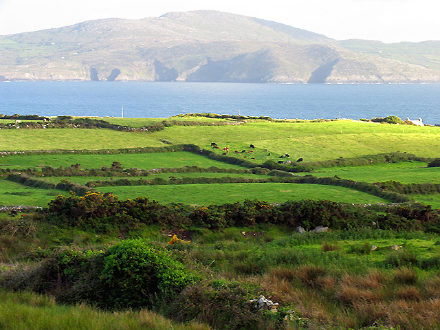 IndicatedKiln, lime · 995 yd
 KilnKiln, lime · 1150 yd
 Fulacht fia in GlenleighFulacht fia · 1383 yd
 Burial ground in Killowen (muskerry West By.)Burial ground · 1501 yd
 Rathcool WoodWood · 1.2 mi
 Castle and TurretCastle, tower house · 2.2 mi
 Battle of Knocknaclashybattle · 2.9 mi
 Dromsicane Castle (in Ruins)Bawn · 2.9 mi
 Blackwater (Duhallow) WayWalking route · 3.0 mi
 Millstreet Tourist InformationVisitor information · 3.1 mi
 St. Patrick's ChurchVisitor information · 3.1 mi
 Millstreet Museum & Tourist Information CentreMuseum · 3.2 mi