What is recorded here
On SE-facing slope in rough pasture in an upland area with undulating terrain. Monument has been ploughed out but is still visible as a roughly circular raised area (dims. 26.3m N-S x 29.4 E-W) with evidence of fosse (Wth c. 2m; D 0.1m) to the NW. The bank in the SE quadrant is particularly flattened, disappearing into the natural hill slope. Interior slopes steeply to SE and is grass covered. The N quadrant is particularly denuded, possibly where a tractor gains access to the monument.
Compiled by: Jean Farrelly
Date of upload: 26 August 2011
The monument record does not grant public access. Check the route and ask the landowner before entering private land.
- What survives
- Recorded monument
Places near here
 Sir Thomas's Bridgebridge · 915 yd
 Kilgainy Castle (in ruins)Castle, tower house · 959 yd
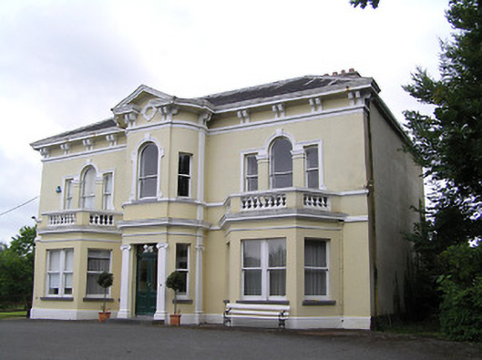 Anner Villehouse · 1020 yd
 Enclosure in Tikincor LowerEnclosure · 1647 yd
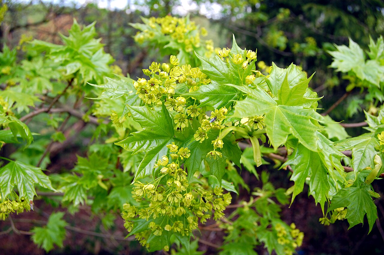 Norway MapleNorway Maple · 1656 yd
 Bawn in PowerstownBawn · 1746 yd
 BaldcypressBaldcypress · 1.0 mi
 Enclosure in Burgagery-Lands EastEnclosure · 1.1 mi
 RetrospectMemorial · 1.6 mi
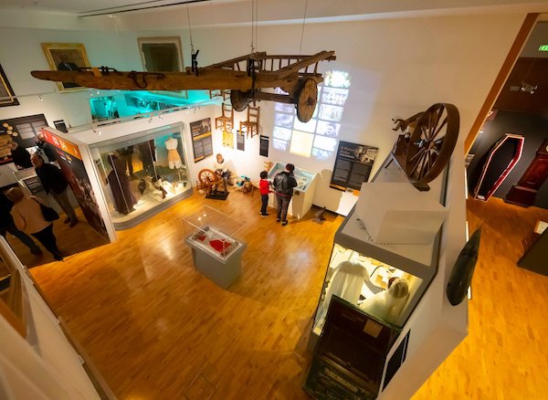 Tipperary Museum of Hidden HistoryMuseum · 1.6 mi
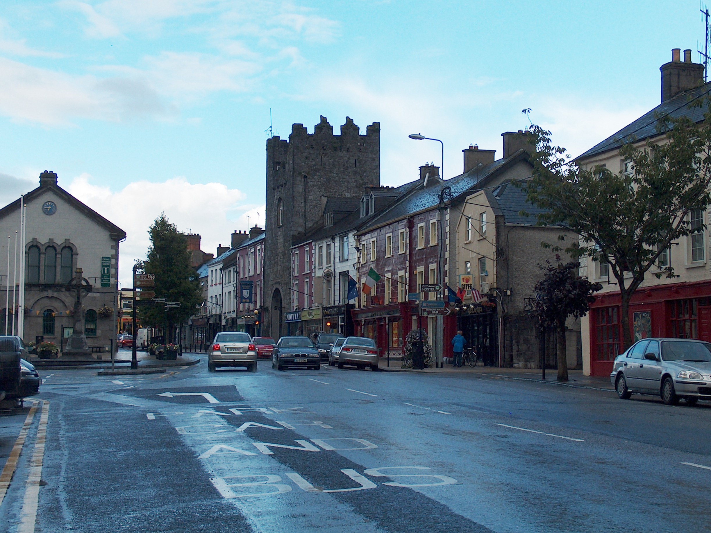 Mick Delahunty SquareMemorial · 1.7 mi
 LaheirkeMountain / peak · 1.8 mi